I grew up in the foothills of steep mountains in a town named for a canyon, and now I’ve moved to a vast glacier-flattened plain and a city that’s named for a mountain. So, of course, one of the first orders of business is an expedition to summit the the local peak.
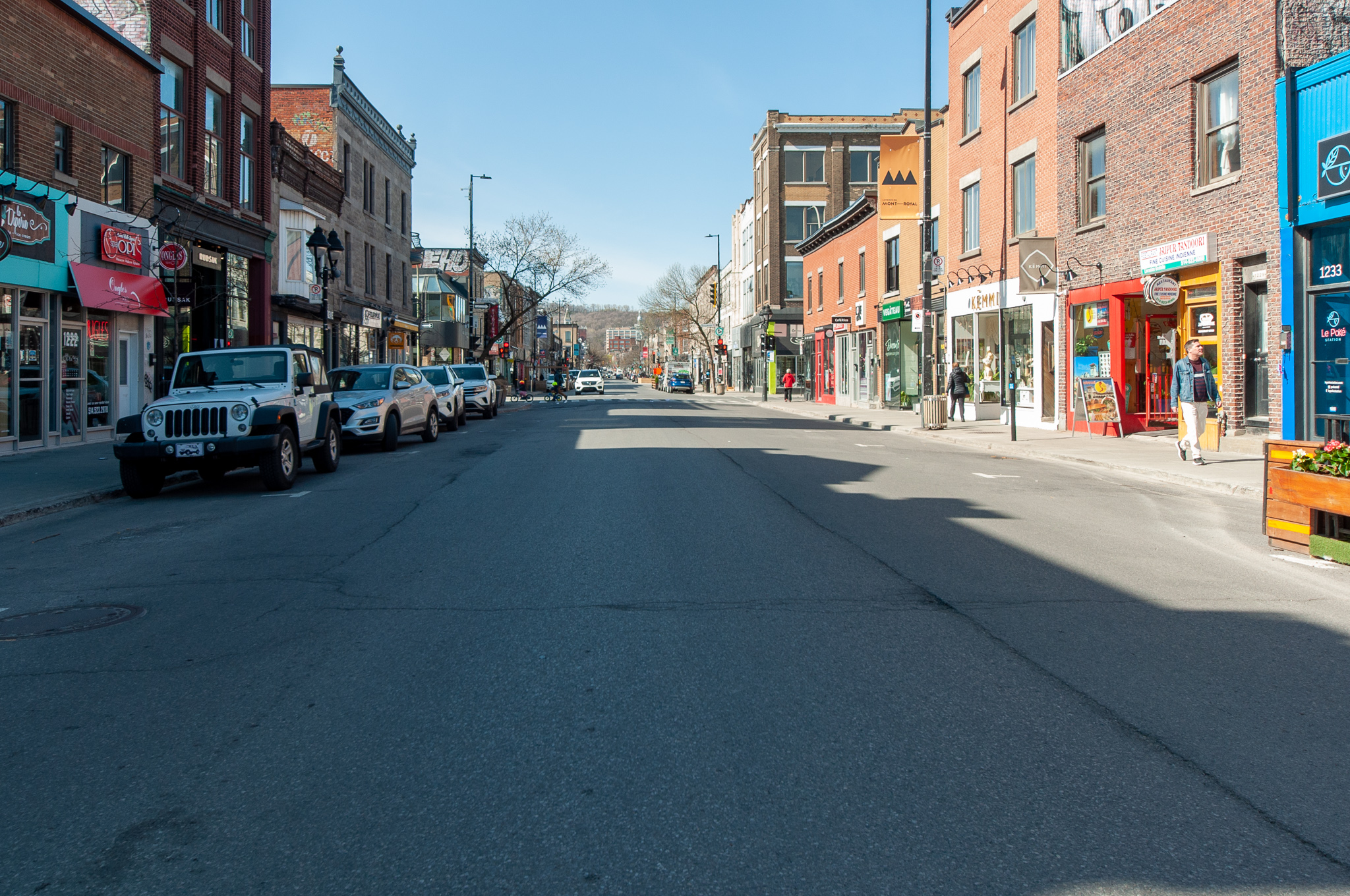
Montréal is eminently walkable. From our place in The Village, I went through Parc la Fontain, and from there to Avenue du Mont Royal. At this point, my heart quickened, for the peak loomed ahead of me in the distance!
Before departing on this endeavor, I had researched the terrain extensively. Parc du Mont-Royal covers much of the mountain and areas surrounding, especially on the north-east side from which I approached. The Parc was designed by Frederick Law Olmsted1, whose plans were not uniformly implemented or respected. One feature which Olmsted had opposed was the Mount Royal Funicular Railway, a mechanical contraption that conveyed explorers to the peak during the thirty year period ending in 1918. I would have no such luxury available in my attempt to reach the summit2.
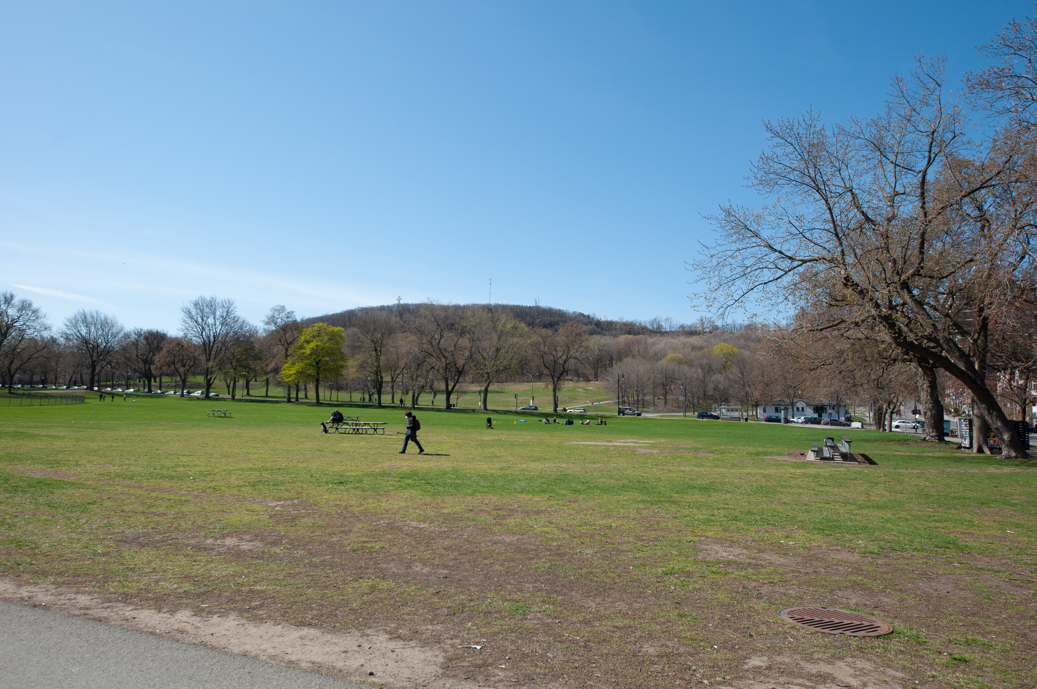
I considered establishing a base camp in the grassy expanse of Parc Jeanne Mance near the foot of the Mont, but instead proceeded directly onto the trail.
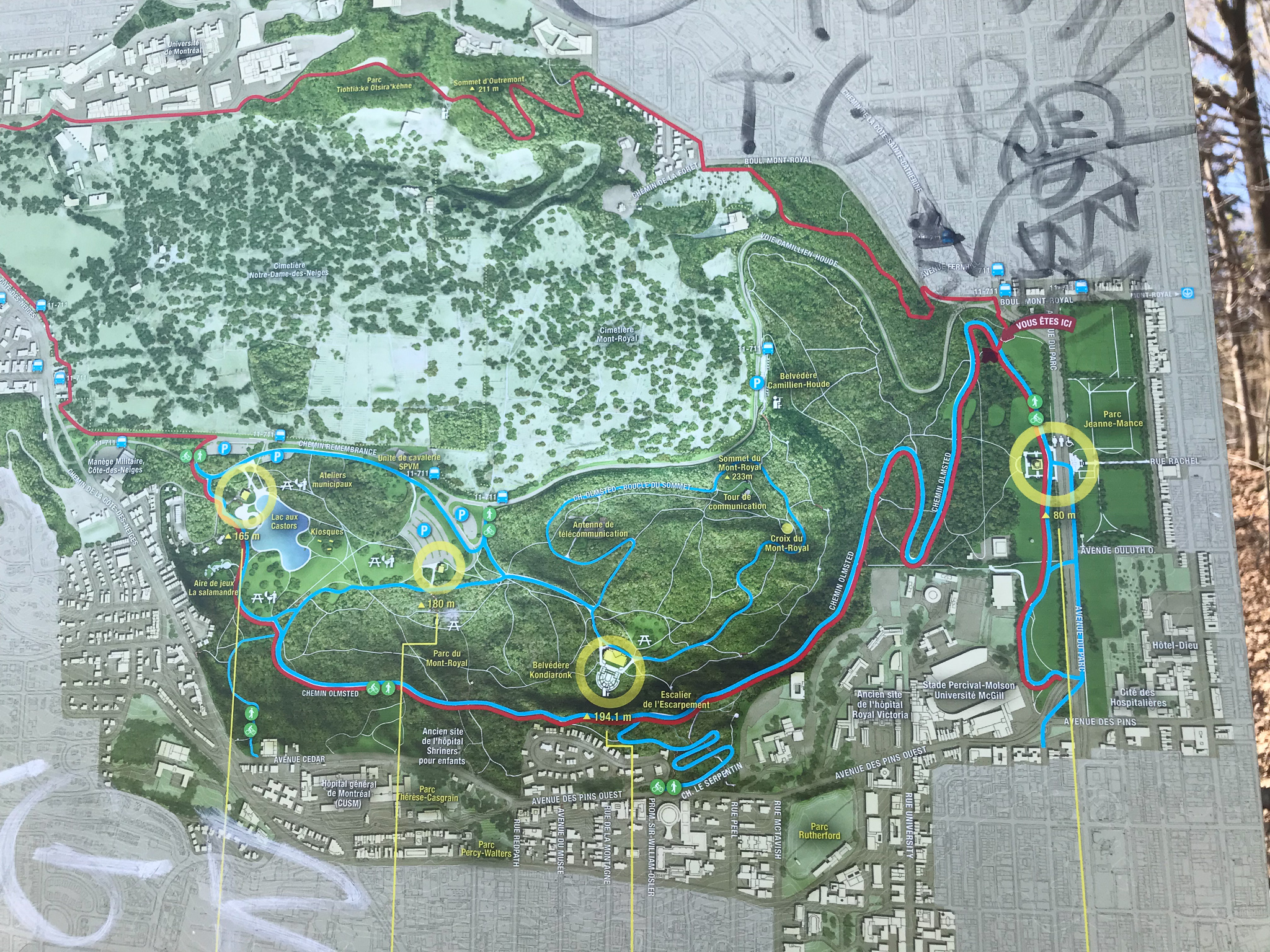
I am far from the first to attempt this summit, and, as such, I had the benefit of the knowledge from previous expeditions. This map was helpful.
I began my ascent along the Chemin Olmsted, and then diverted off onto one of the many unnamed paths through the woods.
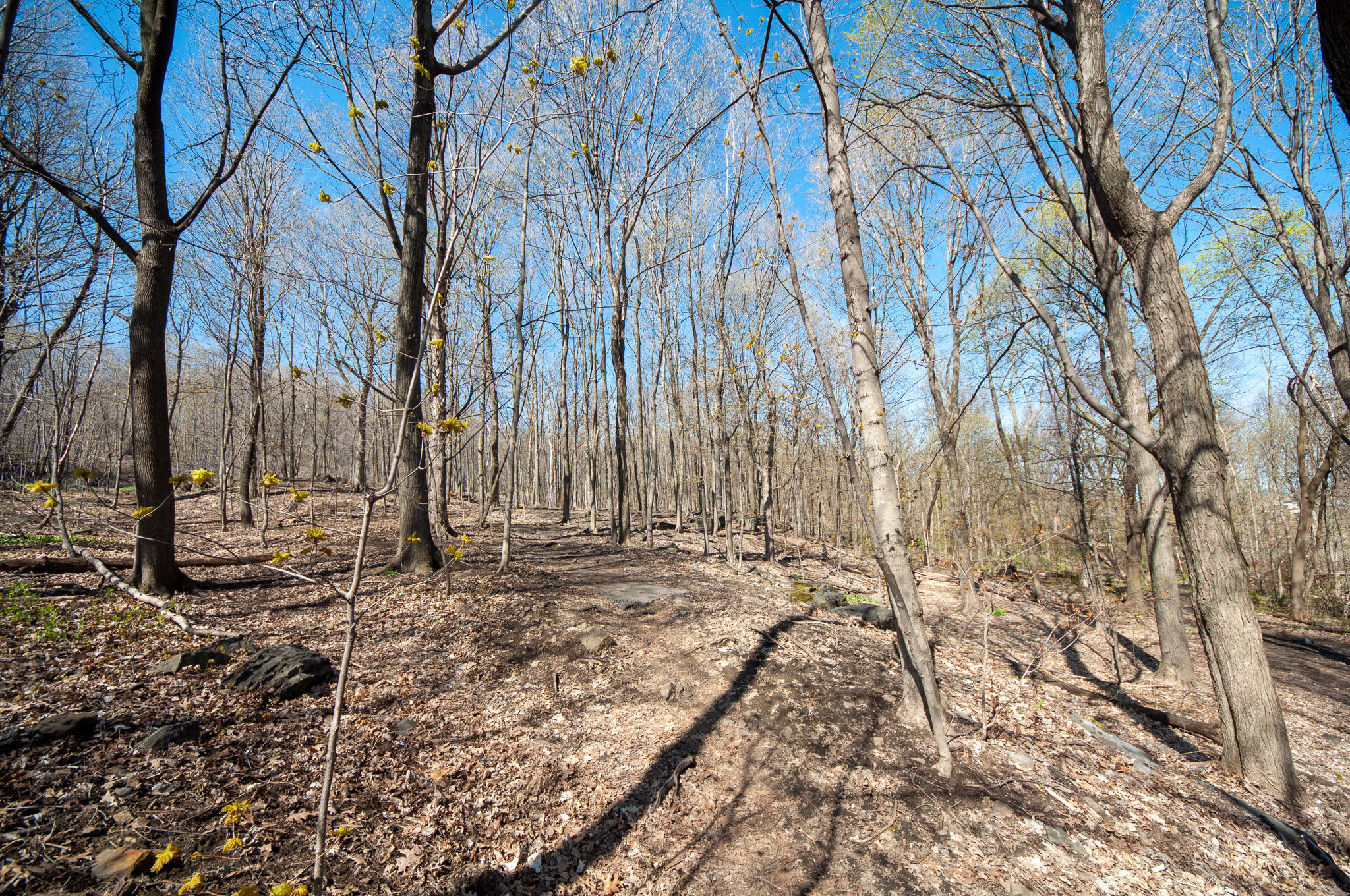
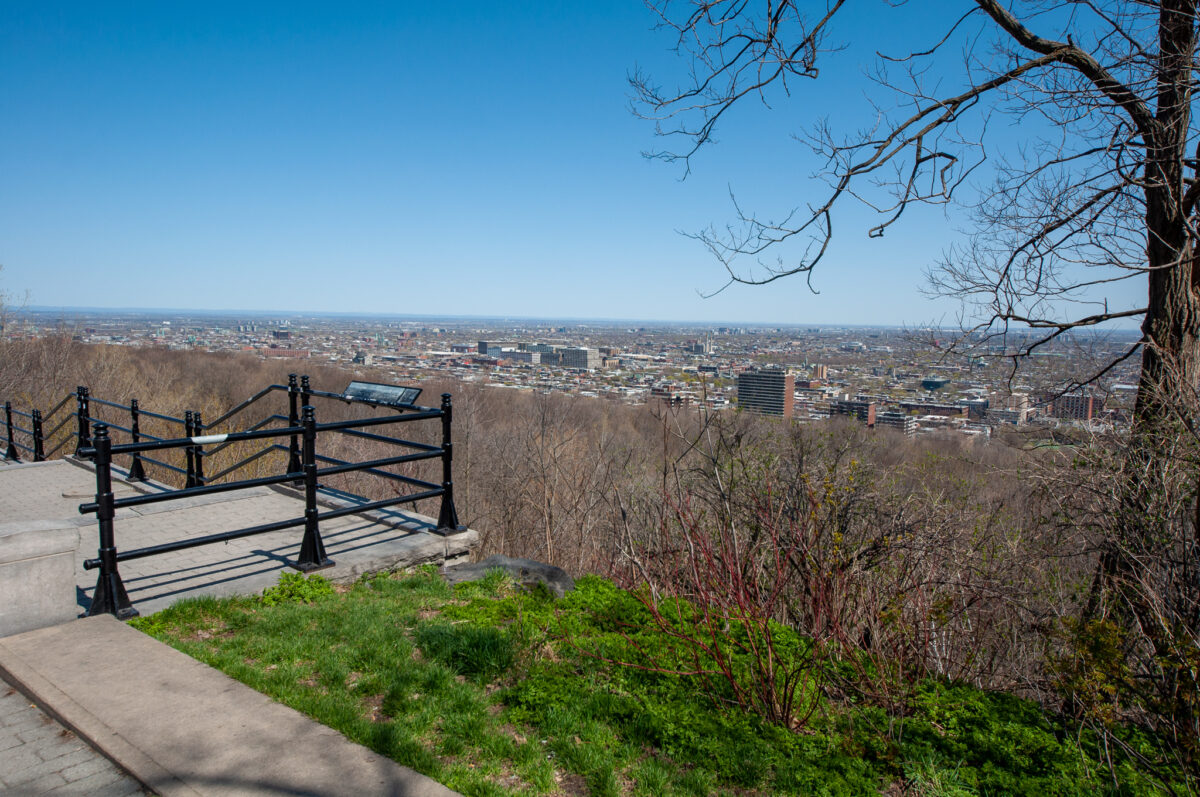
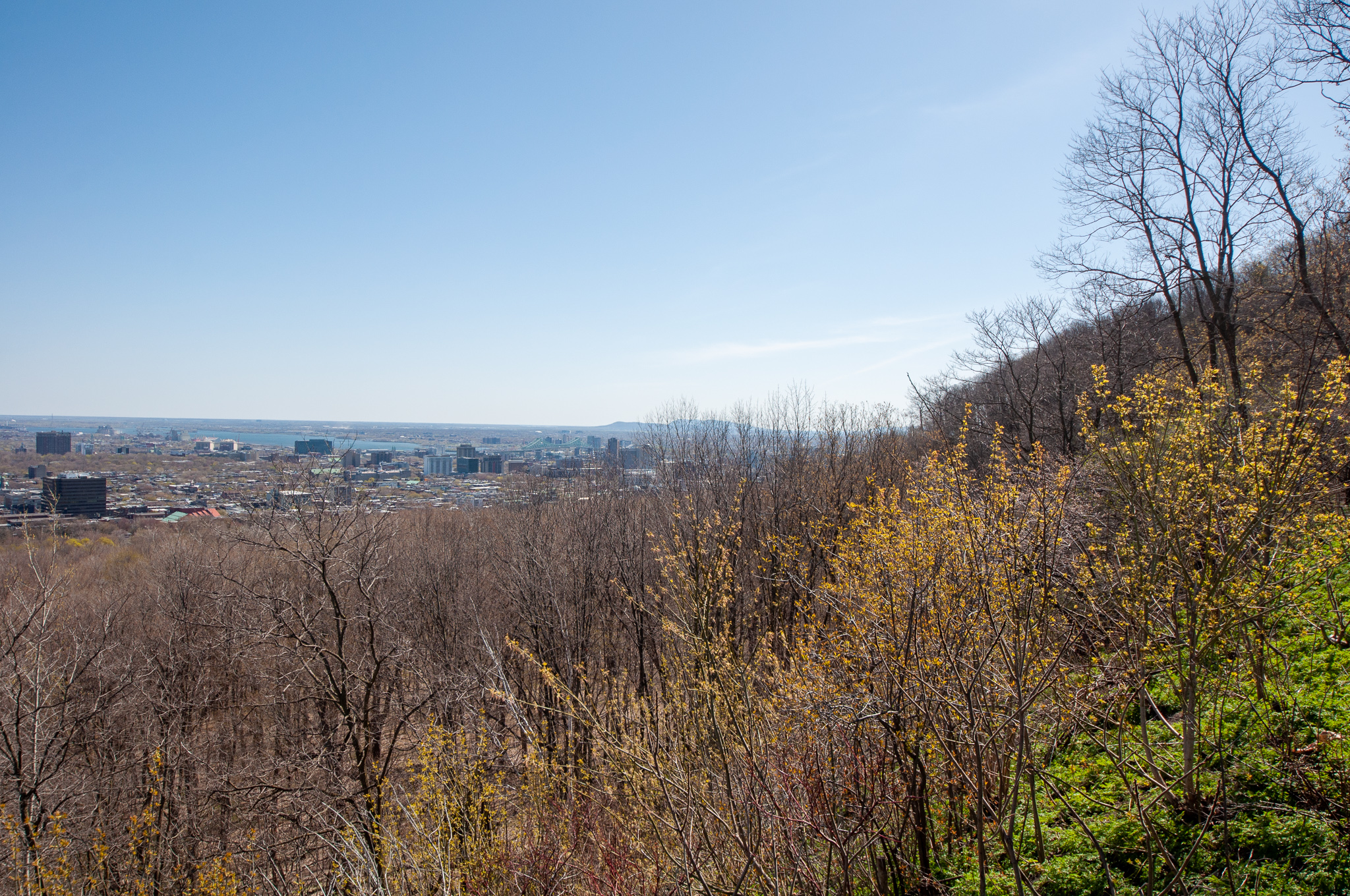
Arduous though it was, I was soon at Belvédère Camillien Houde, a set of view points named for a former mayor of Montréal. The location offers a fine view to the north and east.
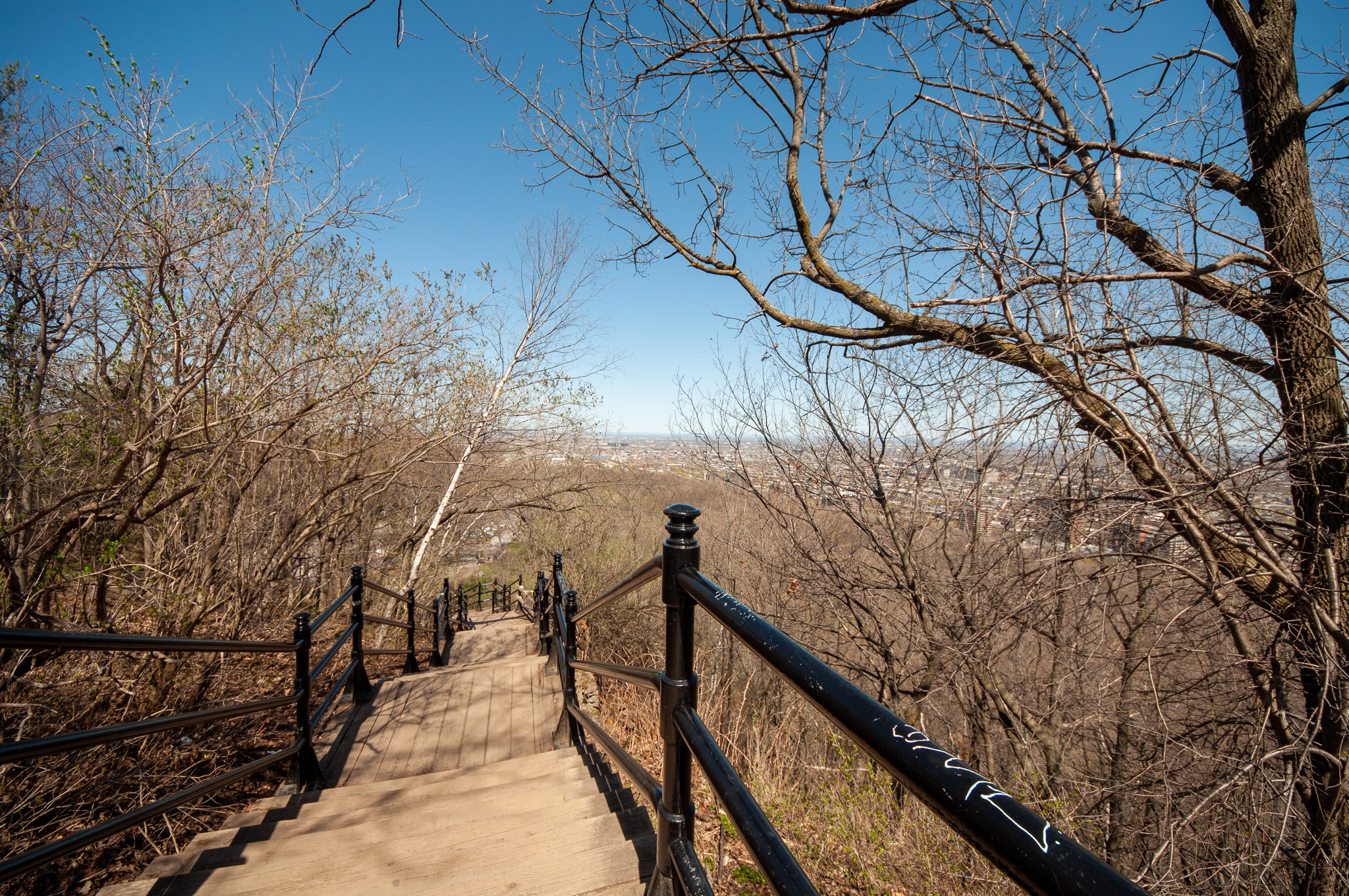
Just as Mt. Everest has2 its famed Hillary Step near the summit (a sheer twelve meter stone wall that is the greatest technical hurdle just before the final assault on the peak), Mont Royal too has a step, or rather, a series of wooden steps up from the belvédère to the ridge leading to the summit. Although I was suffering from a case of trail lassitude, I persevered up these stairs. An hour and a half after my expedition set out, I finally attained the tree-shrouded peak of Mont Royal, measuring in at 233 meter elevation (764 feet).
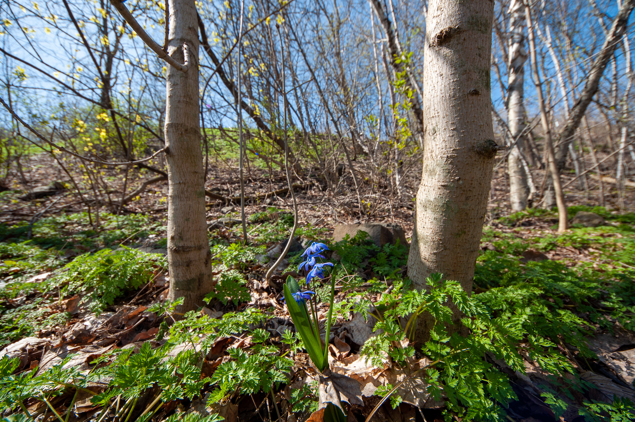
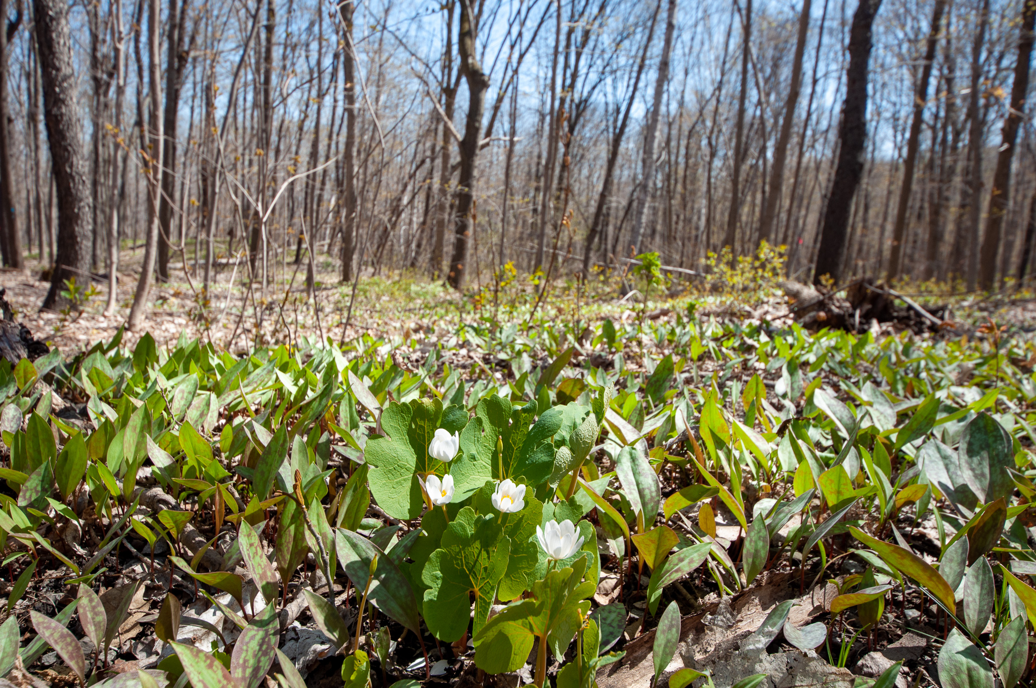
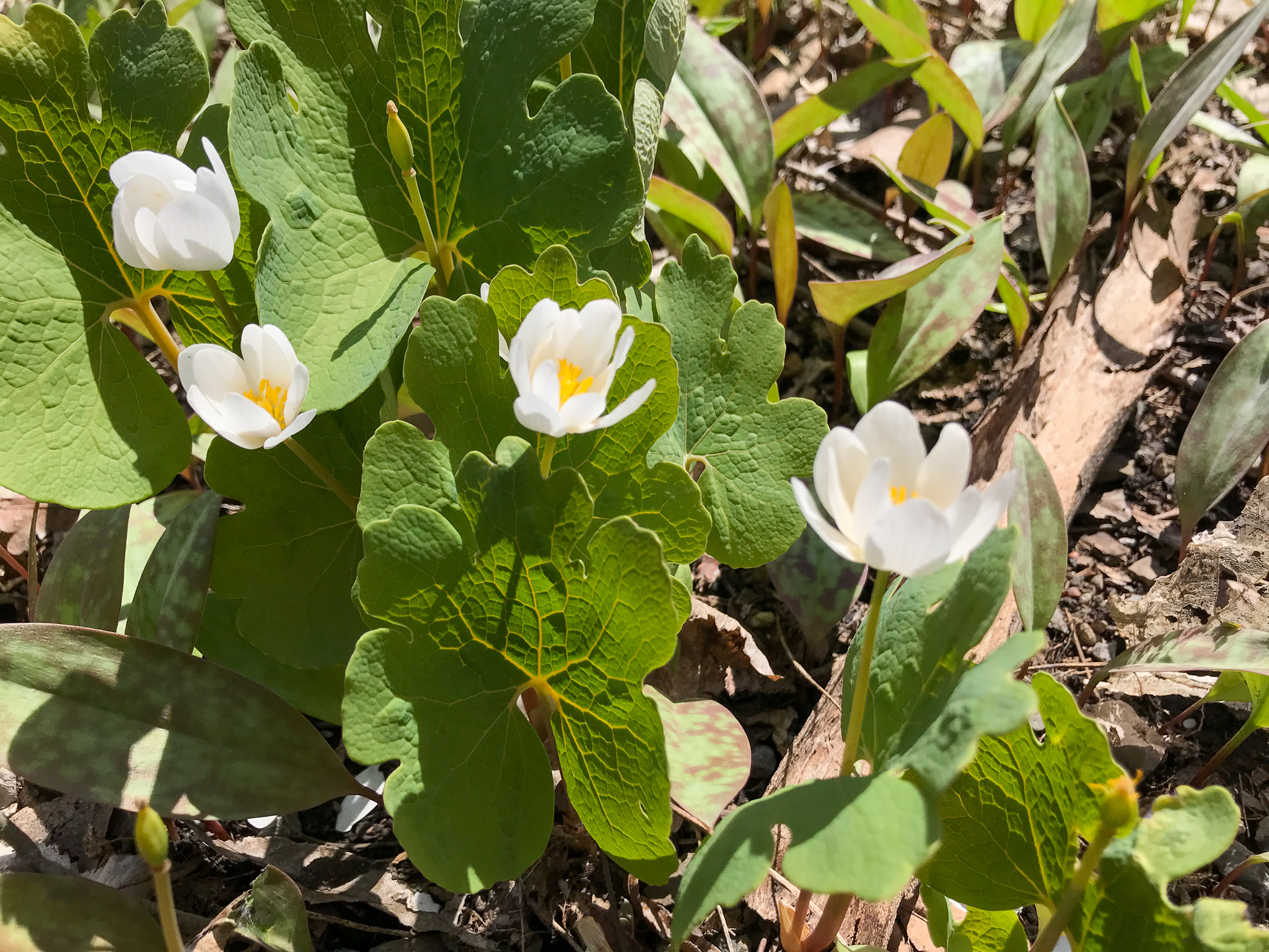
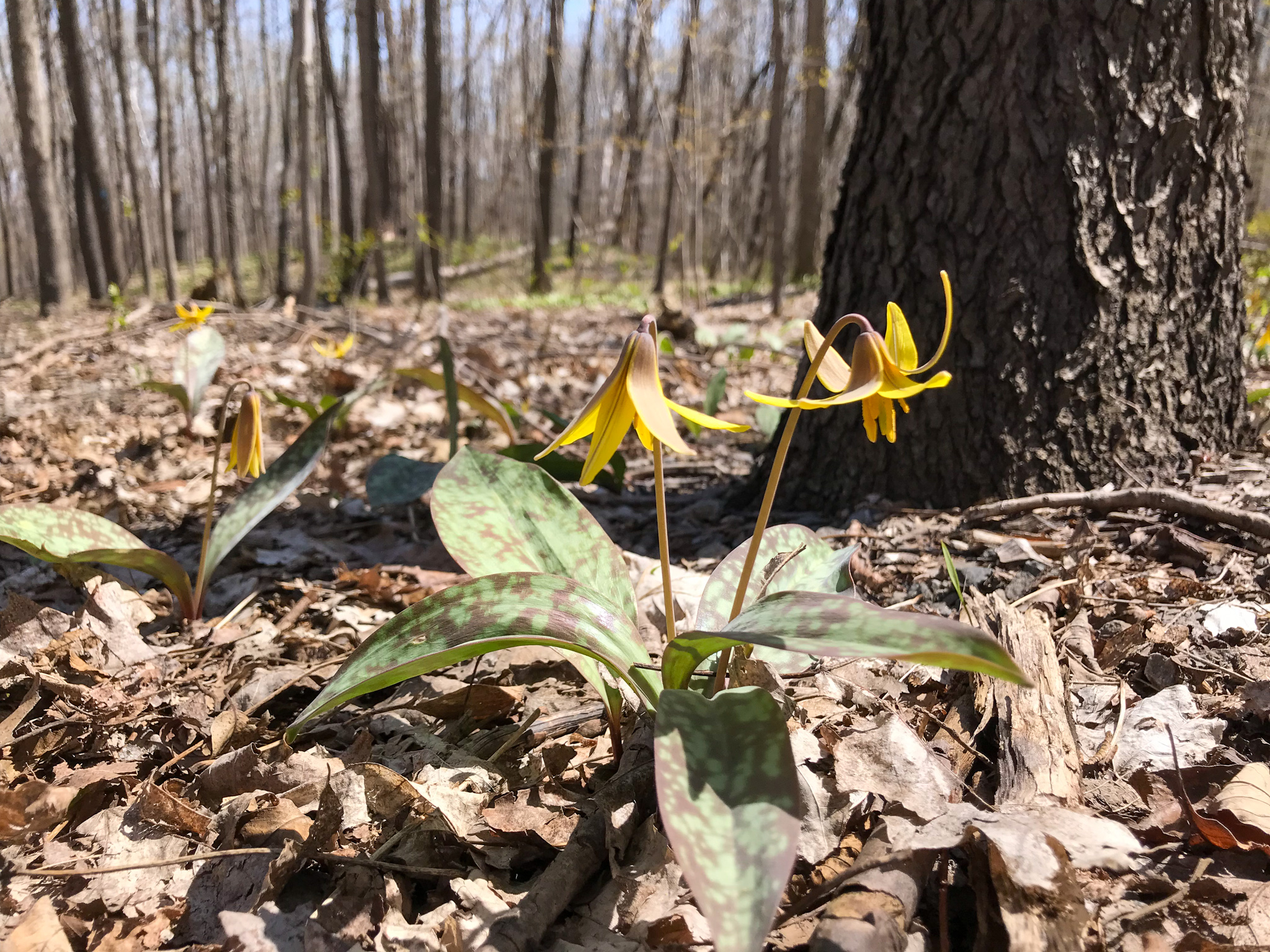
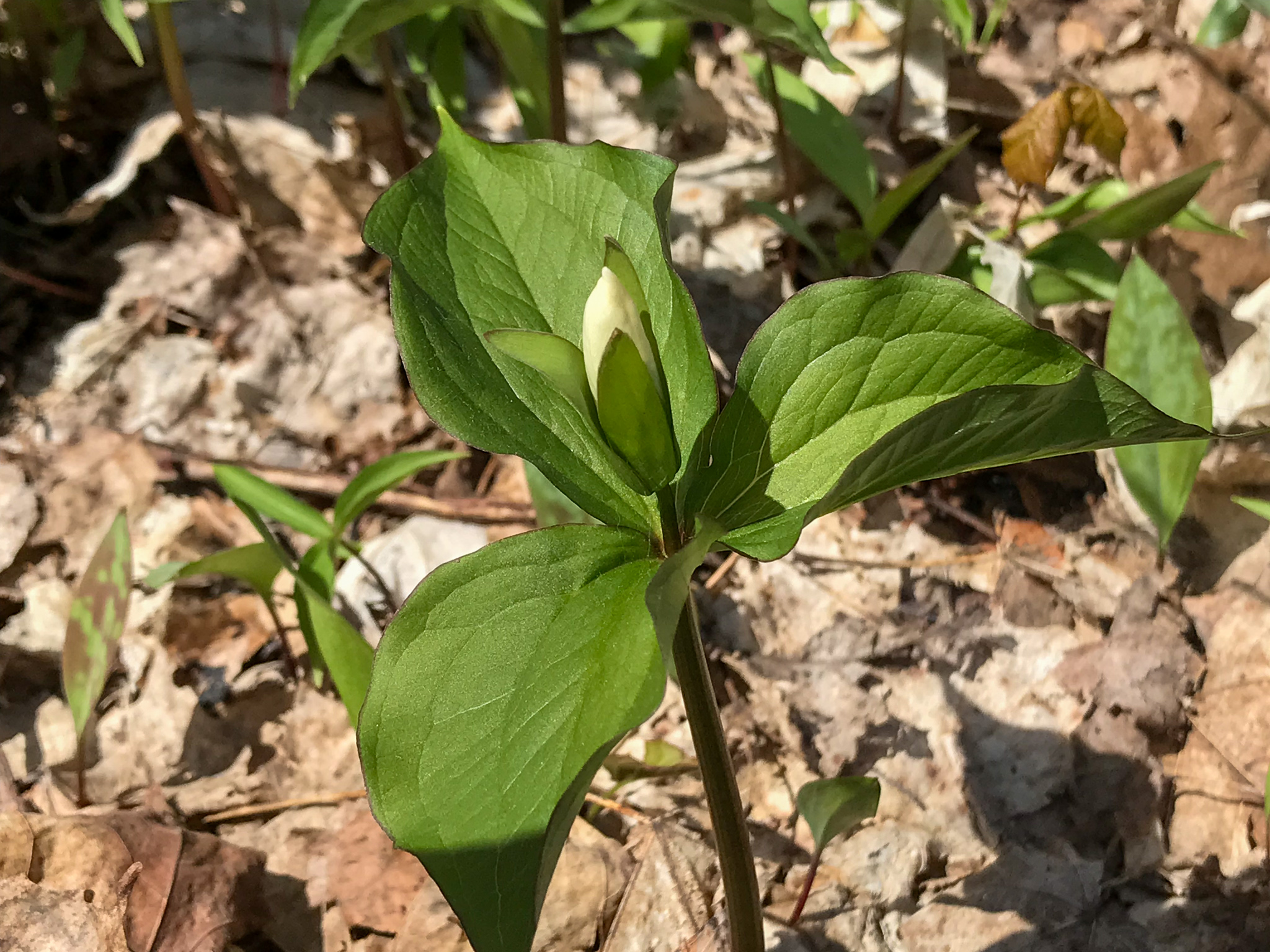
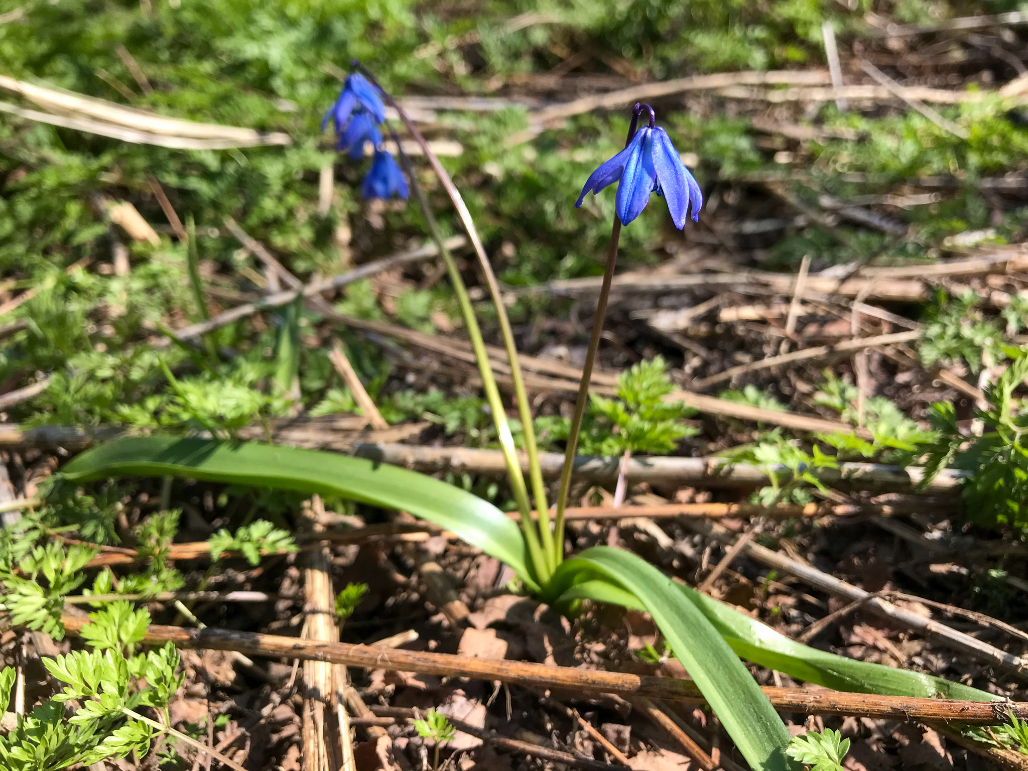
While not downplaying the great achievement of reaching the peak, it is necessary to state that no mountaineering expedition is solely a feat of athleticism — mountaineering serves science as well. In support of this goal, I endeavored to identify some of the spring flowers that enlivened the lower elevations. This proved more difficult than it might at first seem: I come from a distant land, and all my knowledge of spring flowers is knowledge of the coastal chapparal and deserts of the west. Fortunately, guides such as the Seek app by inaturalist had no difficulty in providing me the names. So, for the benefit of science, here are my expediction’s findings.
1 Yup, the same person who designed New York’s Central Park!
2 Well, I mean, unless I wanted to take a bus or something.
3 Mt. Everest “had,” rather. According to climbers, the famed Hillary Step collapsed in the Nepal earthquake of 2015.
One reply on “The Ascent”
Love it! Wildflower / flora/fauna identity is one of the first things that really caught me off guard moving to a new land. I recognize all of those now…we have them all in our yard! 🙂