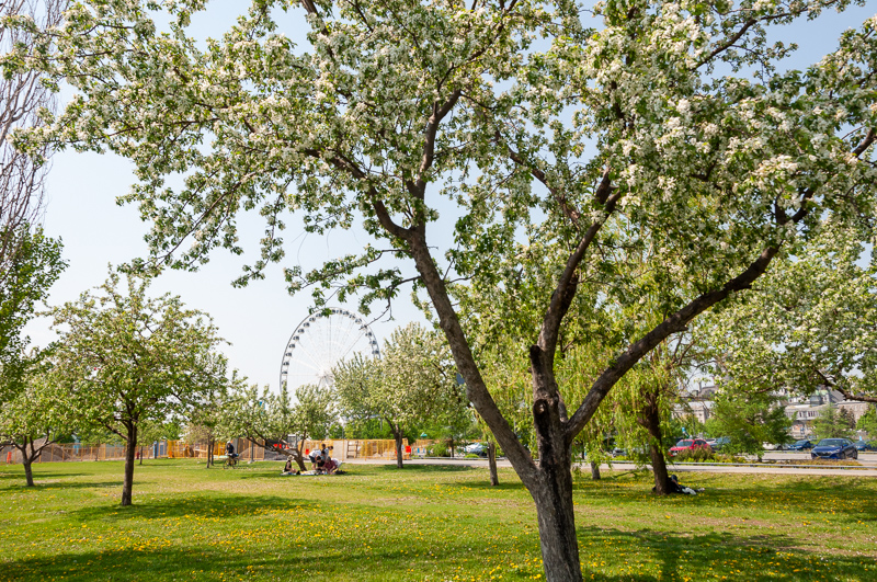
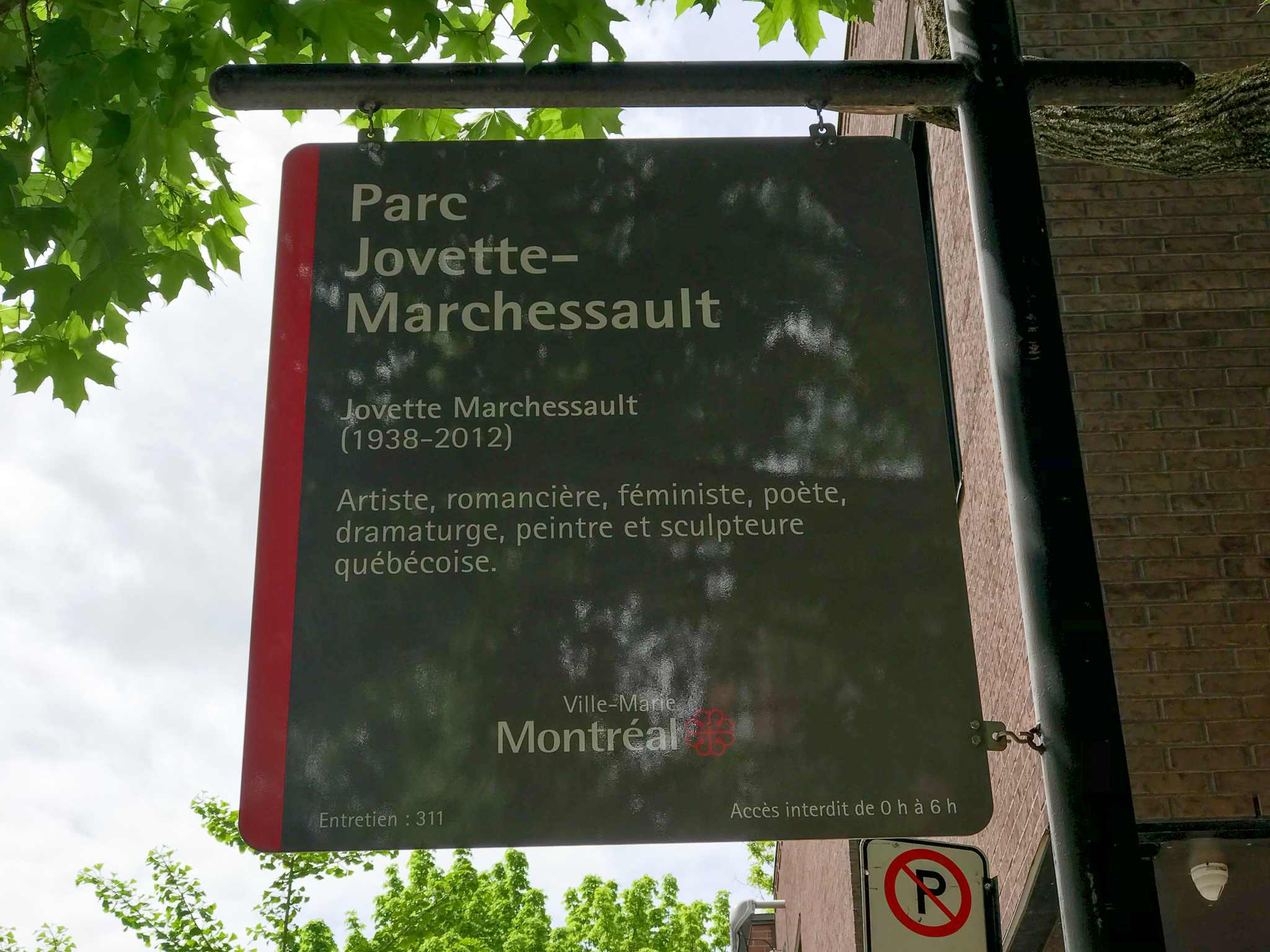
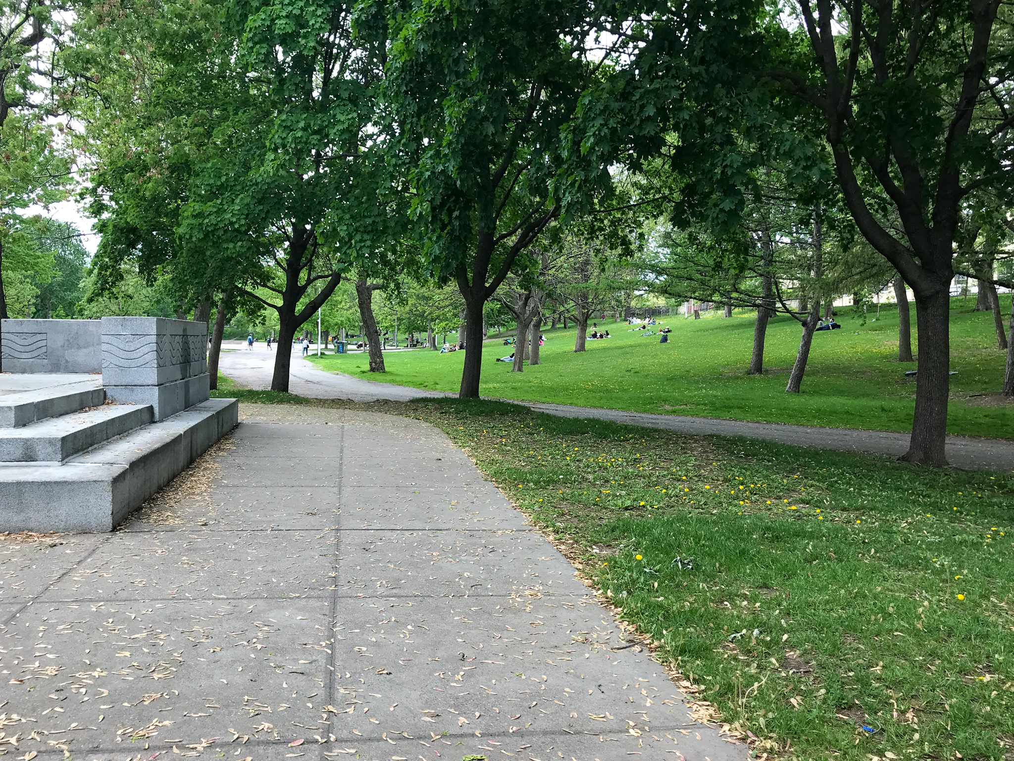
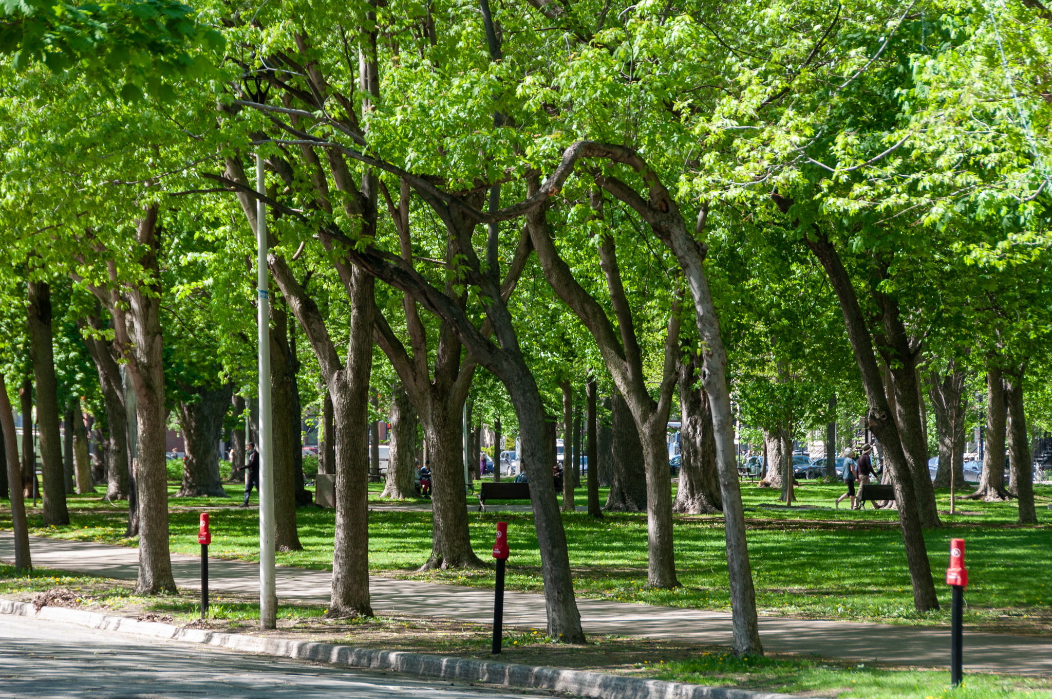
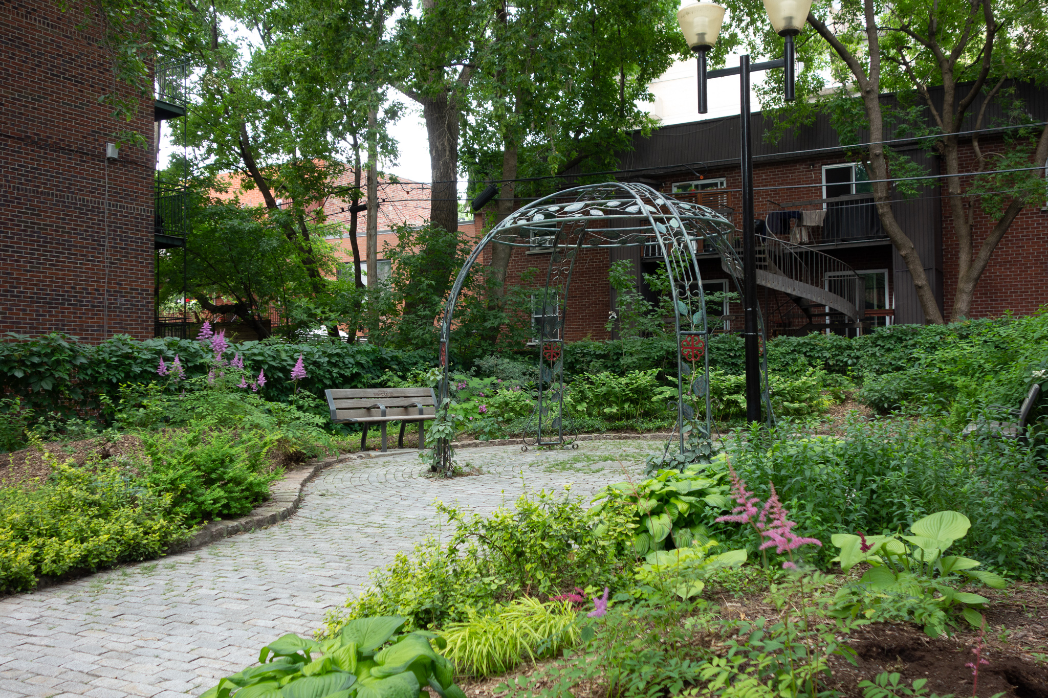
I went on a walk the other day. In the first few blocks, I passed a number of small parks: Parc Jovette-Marchessault, Espace Pierre-Bourgault, and Parc Persillier-Lachapelle. Then I crossed Sherbrooke Street to arrive at the substantially larger Parc La Fontaine.

It struck me that I had encountered a lot of parks even though I was only about half way to my destination. And, in fact, there are a lot of parks. Looking at aerial views of this part of Montréal, you’ll see roughly one park or public open space in every block. While this may not hold true for all of Montréal, the city does have an awful lot of public space (especially in contrast to West Los Angeles)1. This got me wondering about park density and history.

Parks and public spaces are important topics in urban planning, and I discovered that I could spend months reading on the subject, even if I were to limit myself to just the parks of Montréal. So here I go: what follows is a woefully inadequate scratching of the surface.
An organziation called Park People/Amis des Parcs has published detailed breakdowns on open space in Canadian cities. For example, they report that Montréal has 2.8 hectares of parkland per 1,000 people, totalling 13% of the city’s total land and including 97 comunity gardens and 62 dog parks. I couldn’t find comparable numbers for Los Angeles, but I didn’t search too hard. After all, these numbers get very complicated to compare in a way that is meaningful. What do I mean by “Los Angeles?” Do I mean the city or the County? What qualifies as a public open space? I should count beaches as parks, right? But what about the L. A. River, Ballona Wetlands, or Angeles National Forest? Am I comparing to the City of Montréal or the greater Montréal urban area? What jurisdictional boundaries were used in determining the numbers? This kind of breakdown quickly becomes tedious and not very interesting2.
However, I am still interested in the history of the parks. Have the parks always been here? How did the land get reserved through the various growth cycles in the city’s past? While looking into this, I happened upon a fascinating Master’s thesis submitted to McGill University in 1953 by one E. Laird Wilson. The thesis details the history of the Montreal Parks and Playgrounds Association Inc, and covers some of the social and political movements that resulted in the creation and maintenance of parks in the city.
Reading the thesis led me down a complex rabbit-hole of history. I learned that the concepts of school athletics and healthful effects of outdoor air as we experience them today have their roots in the 1820s. The idea of playgrounds (as opposed to sports fields) spread to Canada from Germany by way of sand-heaps / sandboxes in Boston in the 1880s. And, like so many other things in Québec, the history of parks and their establishment is intertwined with threads of class, religion, and language.
One major motivator for parks was social improvement. Well-meaning elites wanted to keep children out of the streets and reduce delinquency in dense, working class neighborhoods. Playgrounds were seen as a place for structured activities and sports that would teach cooperation, gardening, and (especially during the 1st World War) patriotism. Similarly, expanding sports programs and spaces for teenagers resulted in the addition of public hockey fields, skating rinks, and book-lending programs. Programs of public singing, movies, carpenty, and handicraft were all introduced at various times.

Another motivator for parks was an egalitarian movement. In 1916, the mayor pushed for increased access and development of Mont Royal Park. His efforts helped open up the breezy higher elevations and views previously reserved for the wealthier Protestant Anglephones to Catholic Francophones. Of course, this was not without controversy. One of the standard counter-arguments against increasing access was a horrified reference to Coney Island in New York — once a pristine beach, now a center of crass commercialism and vulgarity! Despite the opposition, the increased access won.
Later, the environmental movement emphasized natural outdoor spaces. This led to efforts to preserve remaining wild areas, like Bois-de-Saraguay Nature Park and Parc agricole du Bois-de-la-Roche, which I have yet to explore.
I may not have found the exact answer to my initial question, but I learn some interesting history. I appreciate all the little parks and have been enjoying access to the larger parks. No doubt there will be more content here that will involve the Parcs de Montréal!
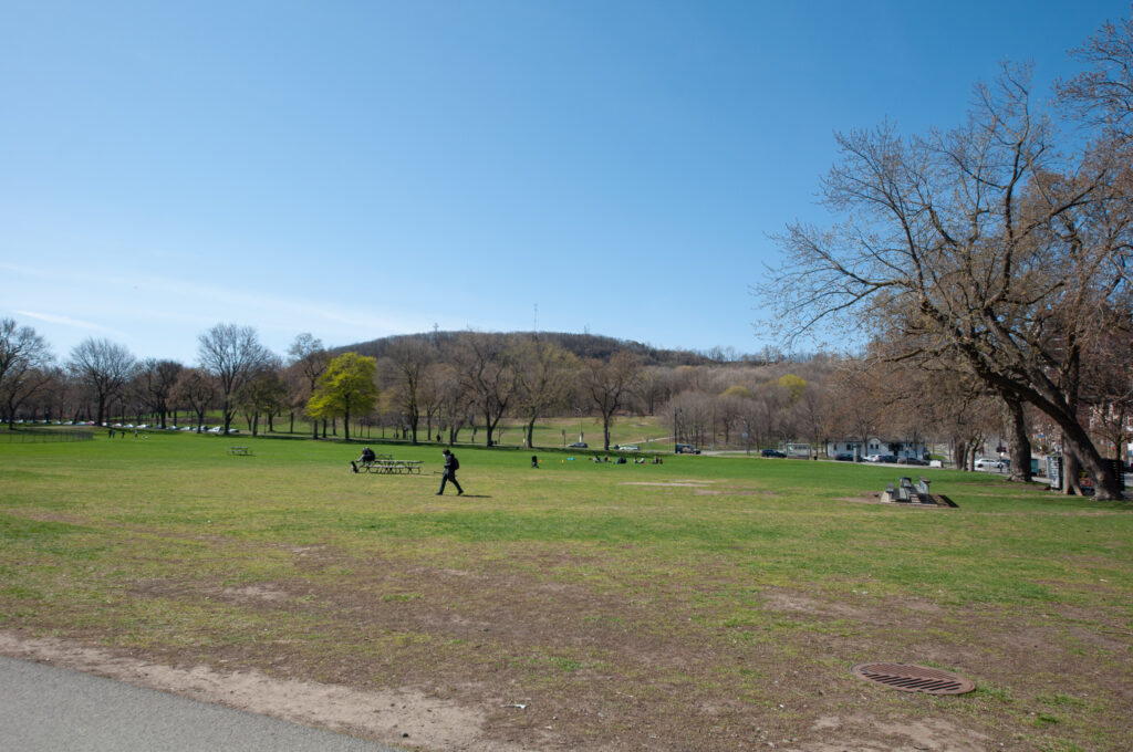
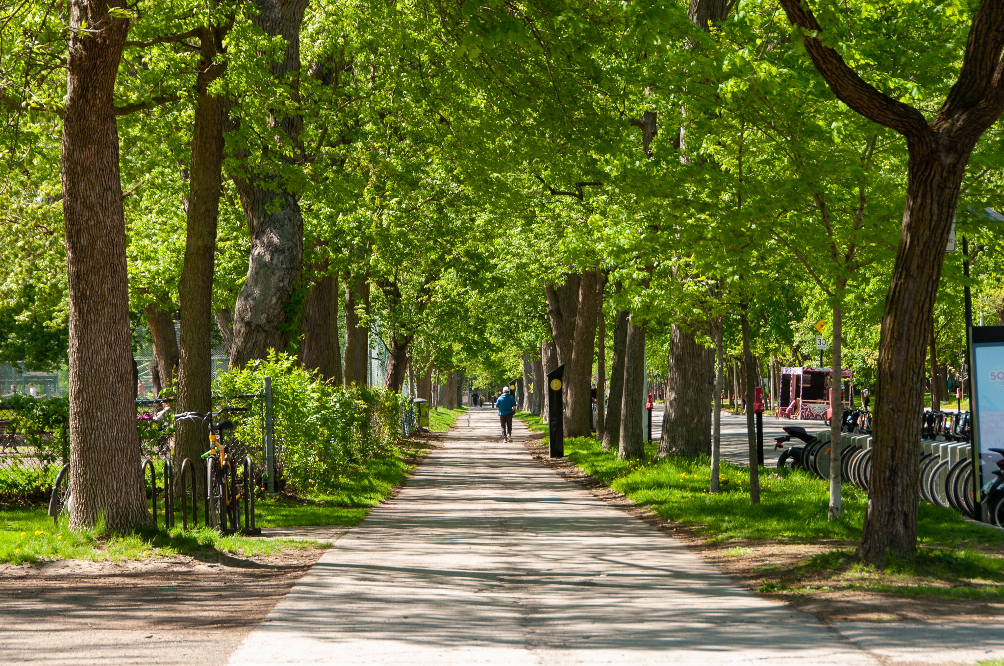
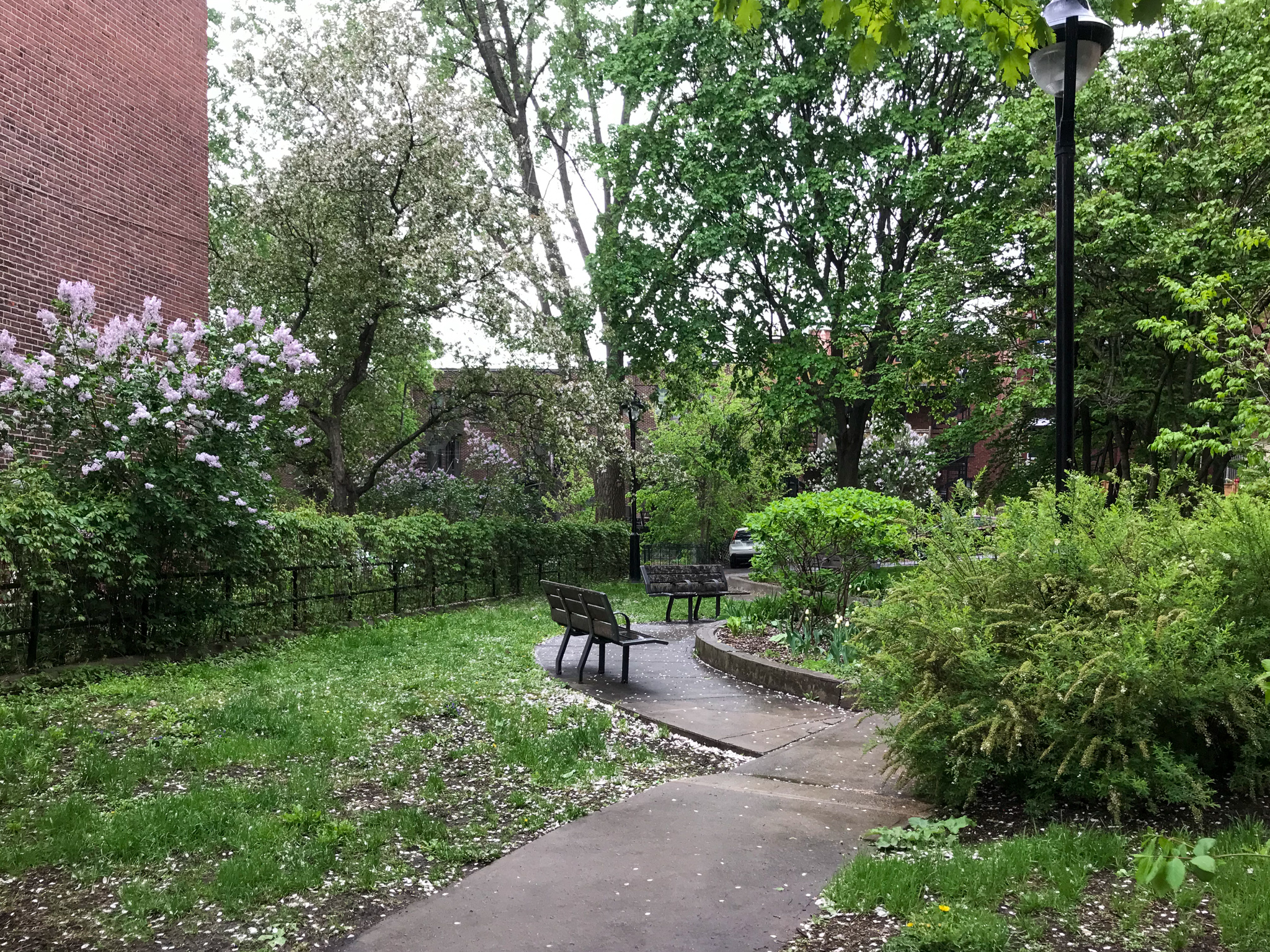
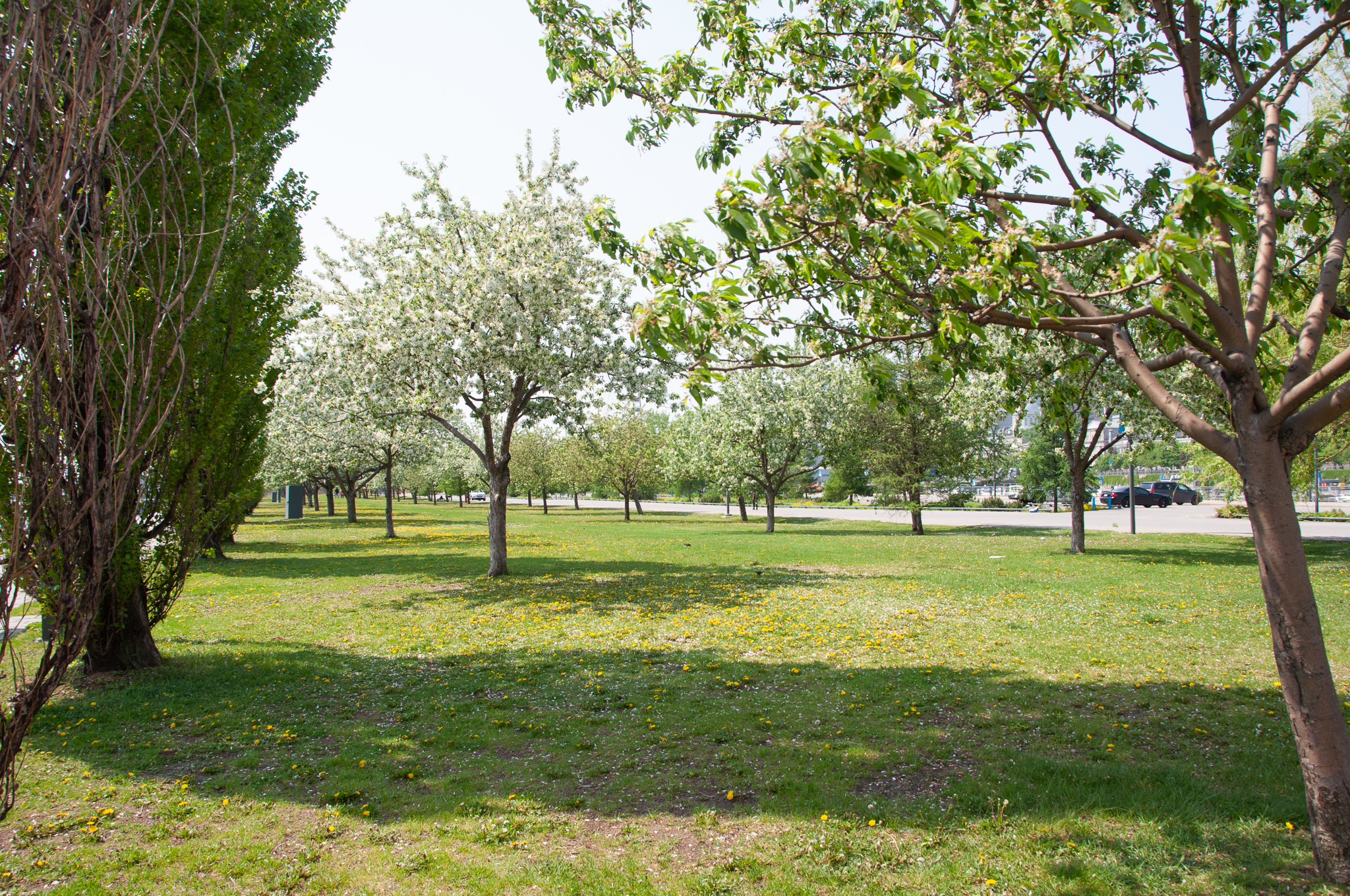
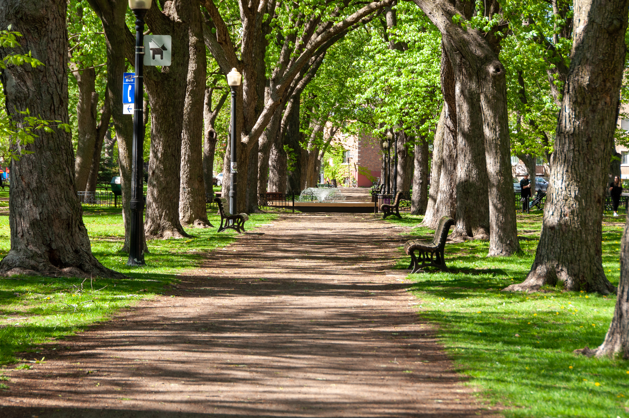
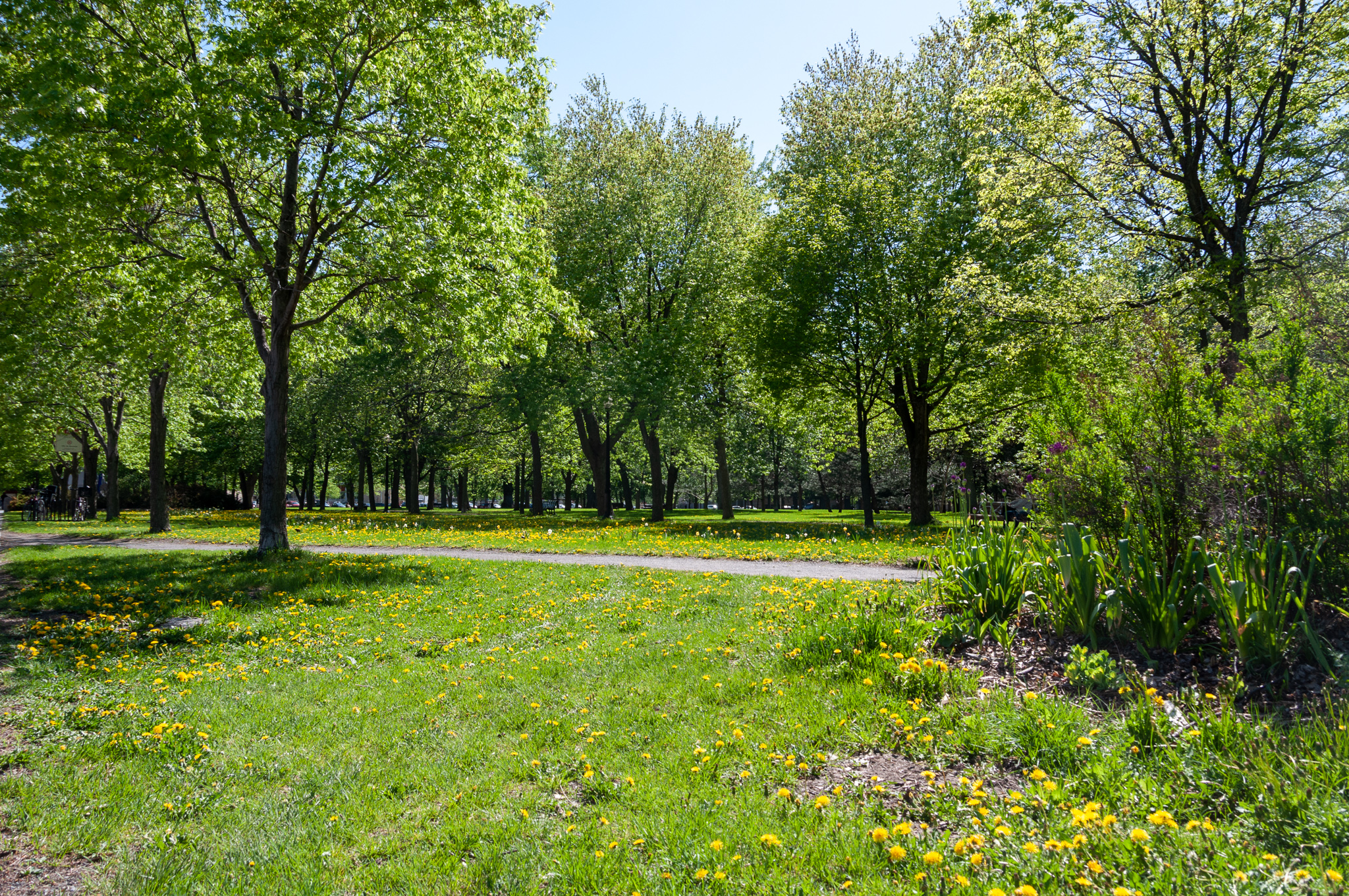
1Some of these parks are little “pocket” parks, with only a picnic table or a few benches. Some are larger, and have playground equipment. Some, like Parc la Fontaine or Parc Mont Royal are vast and contain forests, tree-covered lawns, playing fields, lakes, restaurants, lodges, or outdoor theaters.
2 I’ll admit it. I spent an hour doing online searches, and then another hour or two playing with GIS/mapping programs to see if I could generate maps with just the natural features and parks.
2 replies on “Les parcs de Montréal”
Oooo. I want to walk through the shade with trees!
I learned a lot about parks today. Thanks! Love the pictures, too.