Last weekend, I wanted to explore Longueuil, so I took the Yellow Line under the river to the terminus.
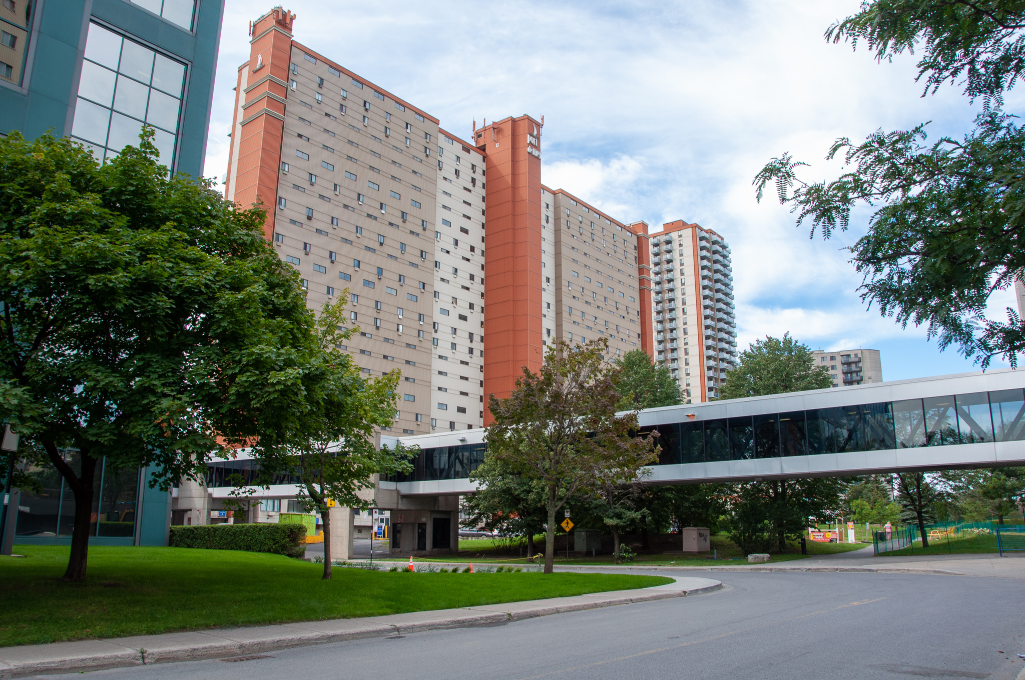
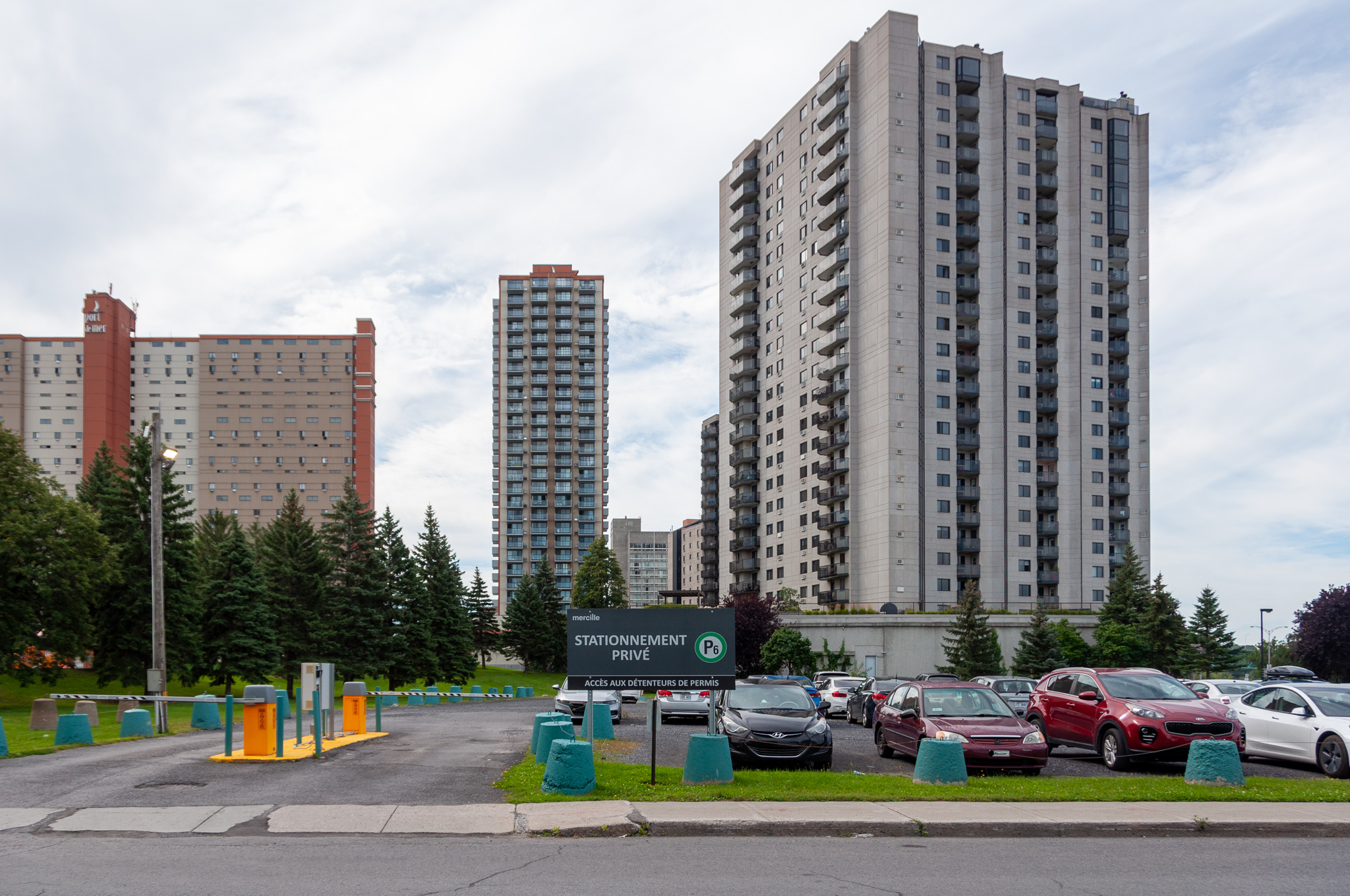
The station is in the Université-de-Sherbrooke, so one emerges into a cluster of towers. Some buildings are connected by enclosed walkways for use during hard weather. It’s an interesting contrast to the “underground city” on the Montréal side.
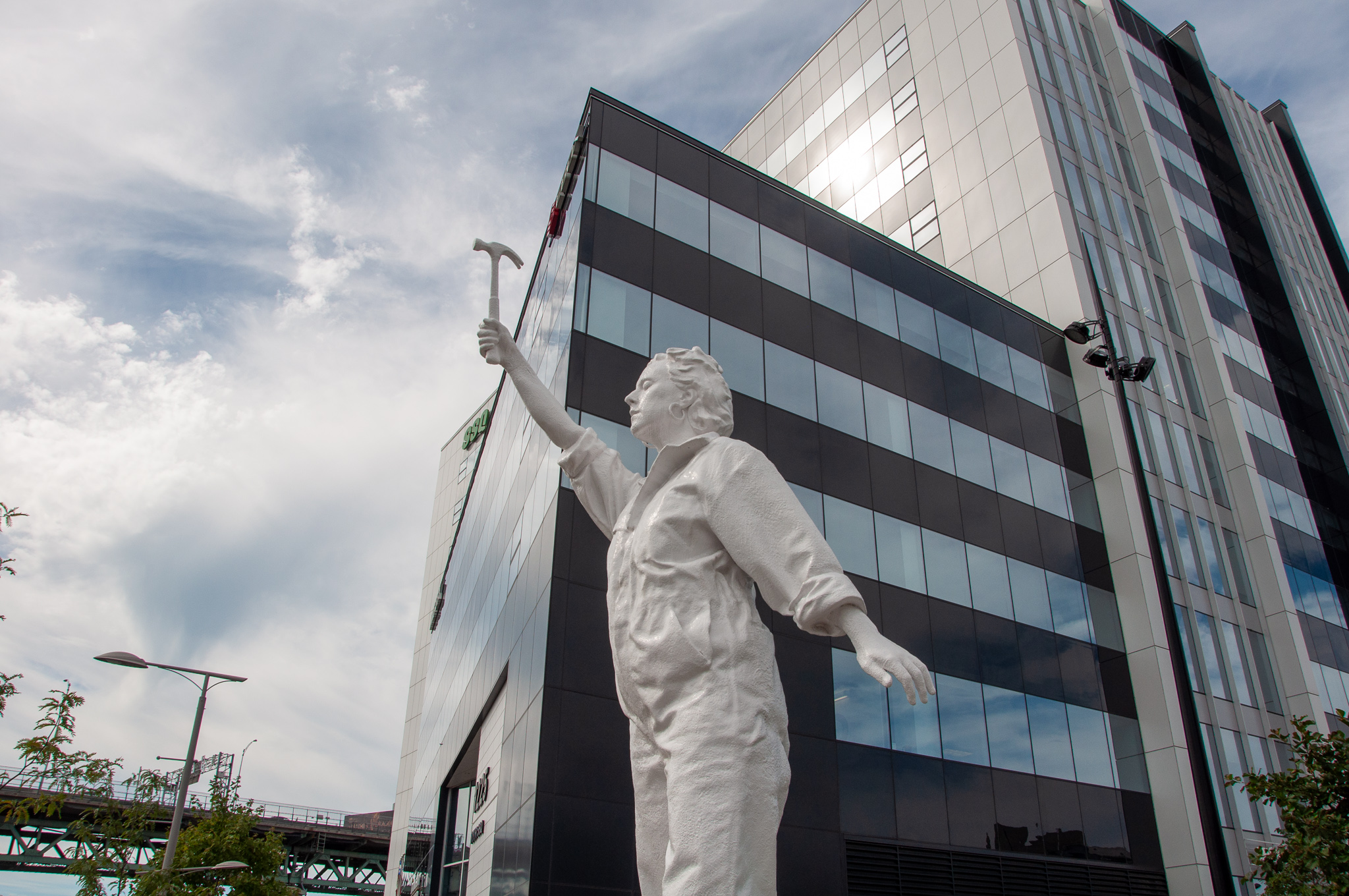
I hadn’t planned my journey, so I didn’t know which way to go to find the older part of Longueuil. I found myself in a rather nondescript maze of highways and parking lots and sprawling shopping malls. Adding some visual interest to this is a program of temporary public art, run by the university.
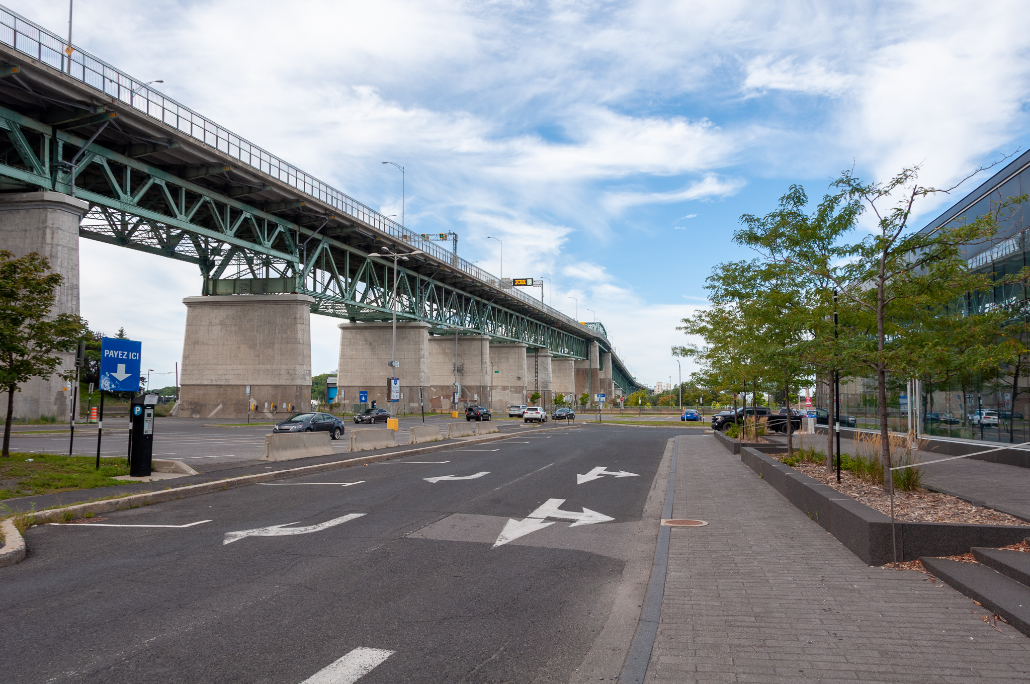
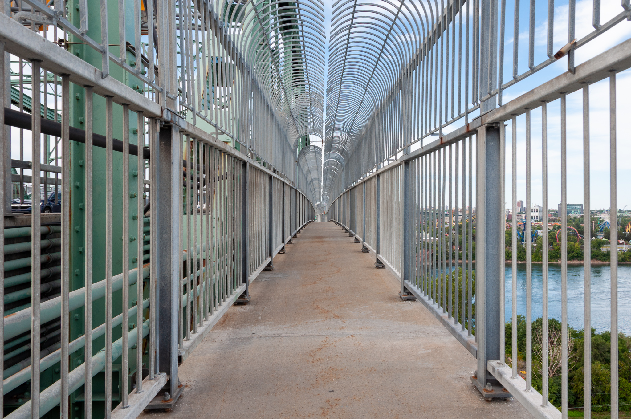
Seeing stairs to leading up to the Jacques Cartier Bridge, I thought I’d get a better overview of the area. So I went up, only to find myself strangely drawn to the sidewalk along the bridge. As you can see in the last picture above, the bridge stays elevated for a long way before it approaches the river.
Now, I have relatively strong acrophobia, and although this sidewalk is about eight feet wide and has a robust railing, one can see straight down to the ground far, far below. It was terrifying, made more so by the fact that the walkway trembles and shakes when heavy vehicles pass on the bridge. Still, it afforded some great views of the University.
For some inexplicable reason, I continued along the bridge. A few facts that I later looked up: the Jacques Cartier Bridge was originally built in 1925 and is now the 3rd busiest bridge in Canada. I was walking on the east side (Longueuil to Île Sainte-Hélène) which has a clearance of 120 feet (36m). The scariest part was on the truss at that highest point, where the sidewalk cantilevers out from the main bridgeway, and one can’t help but see all the way down to the river on both sides.

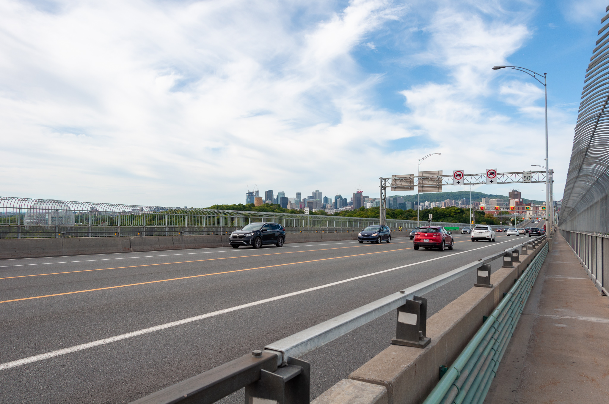
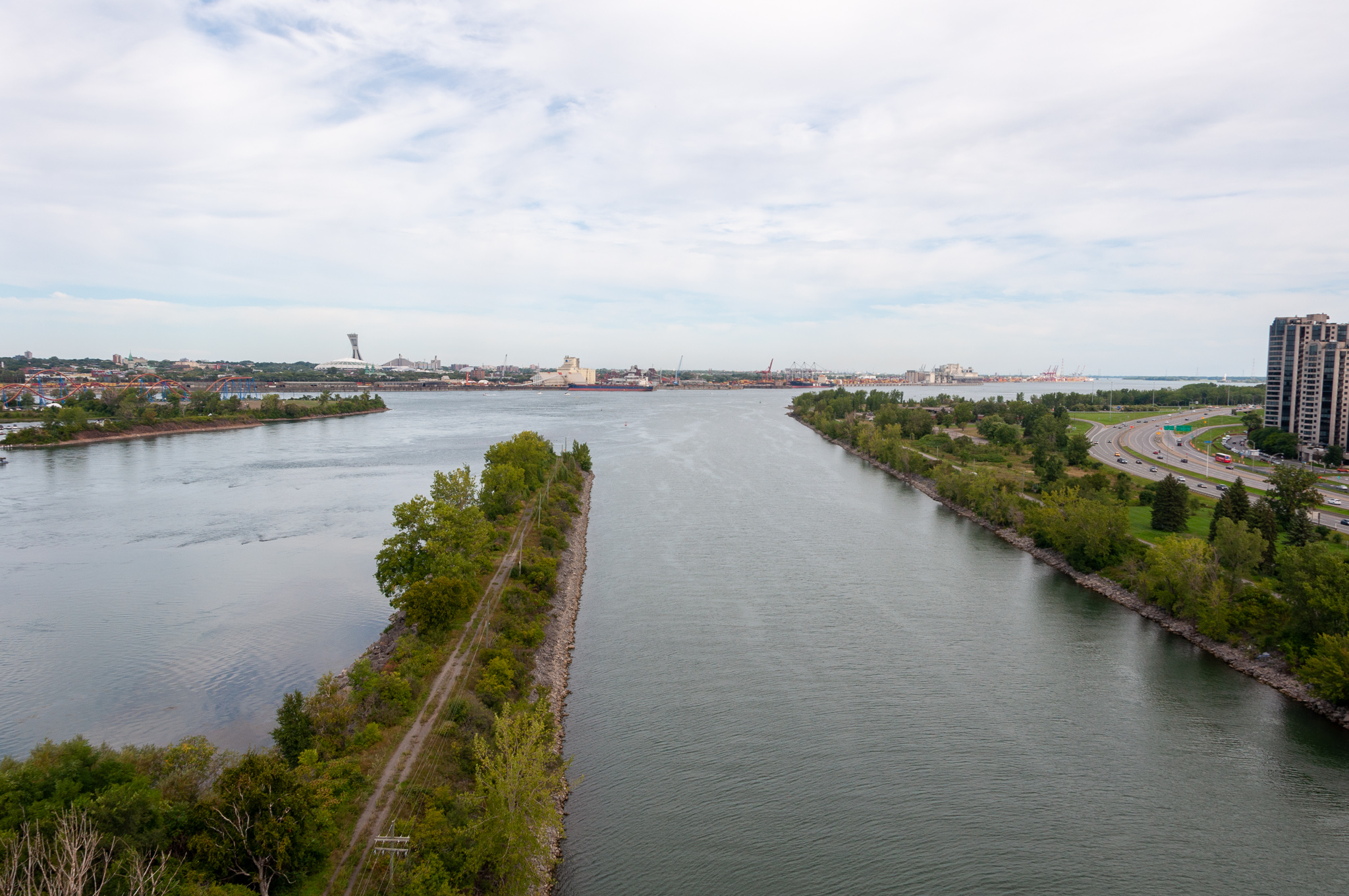
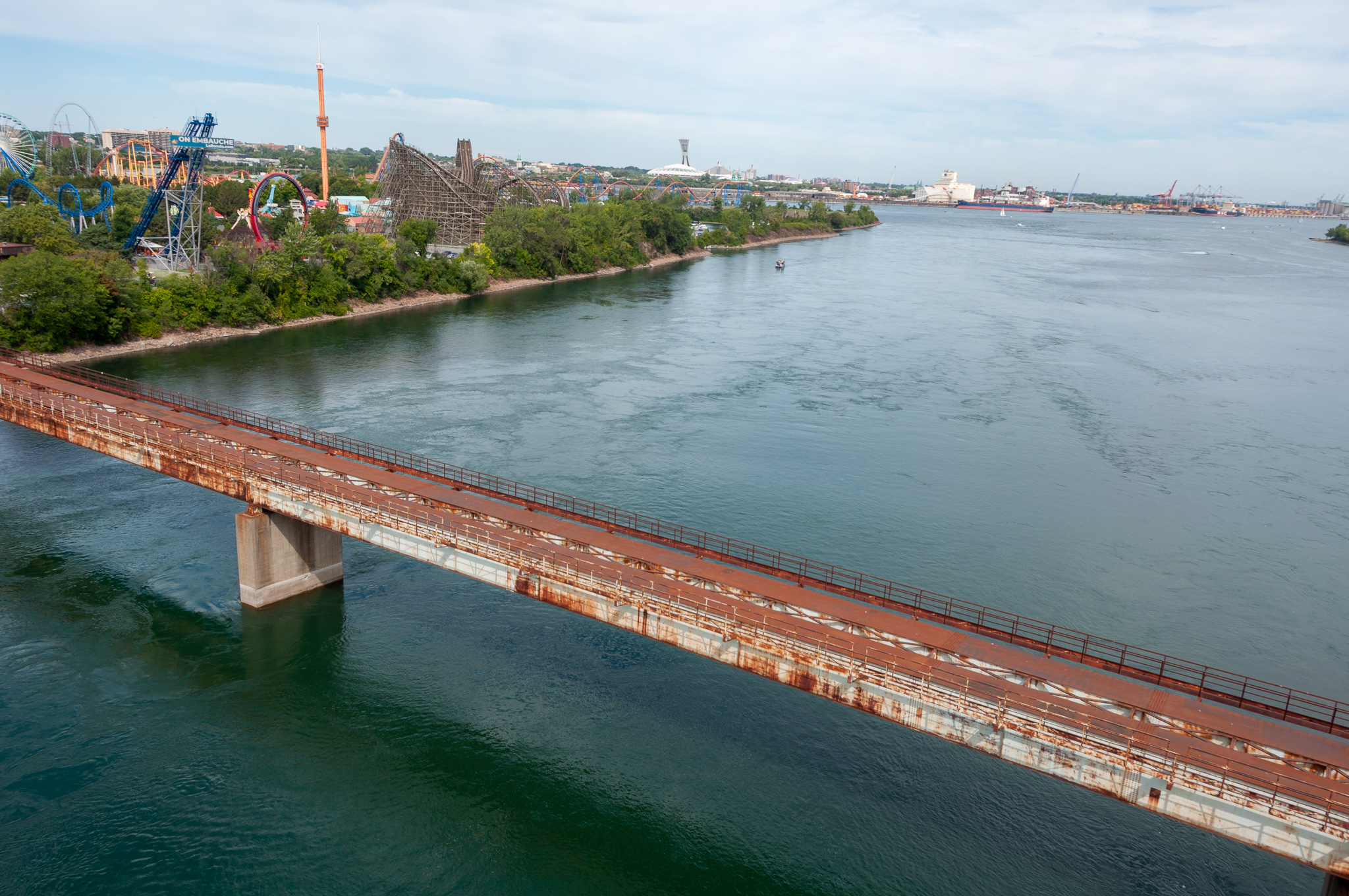
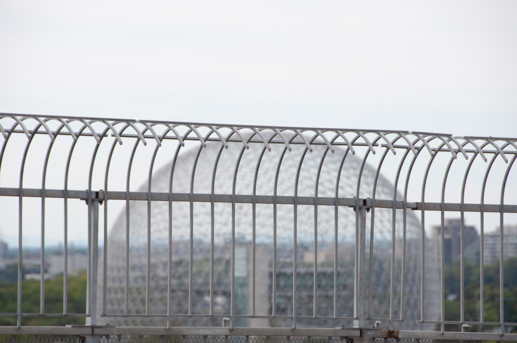
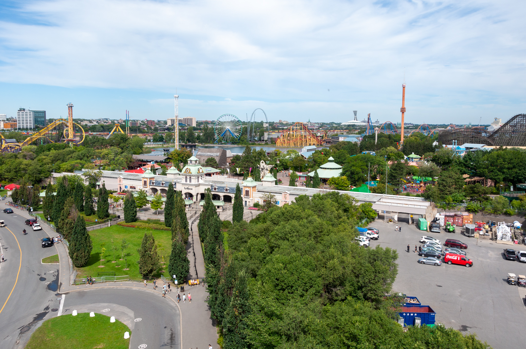
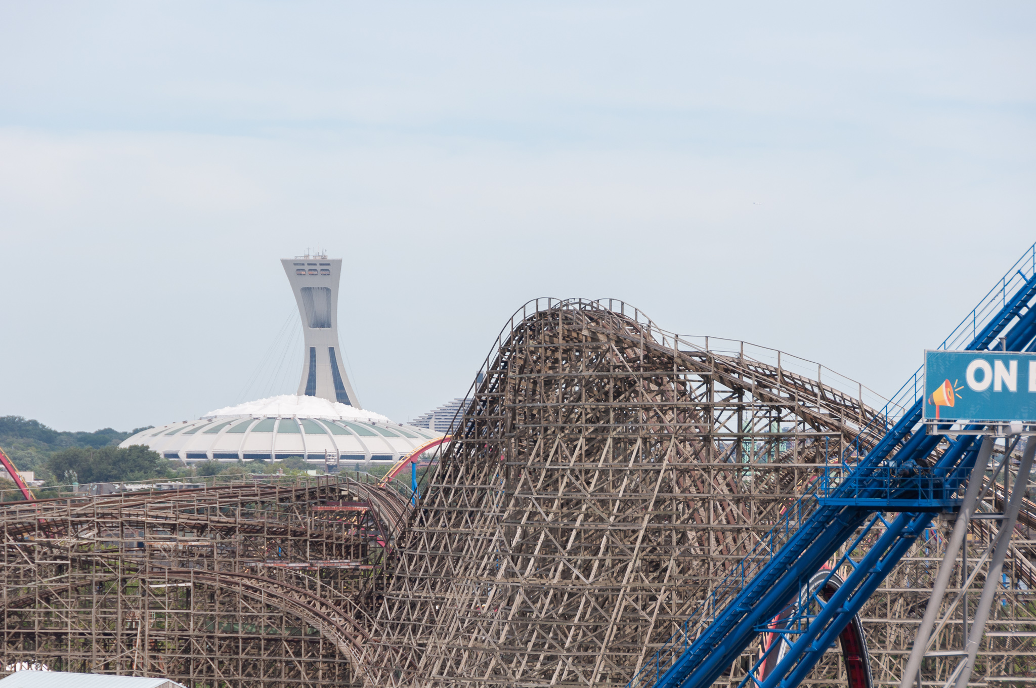
As I got closer to Île Sainte-Hélène, there was a nice view of Montréal’s downtown, views of different passages of the St. Lawrence river, the Biodome, and La Ronde (the amusement park on the island).
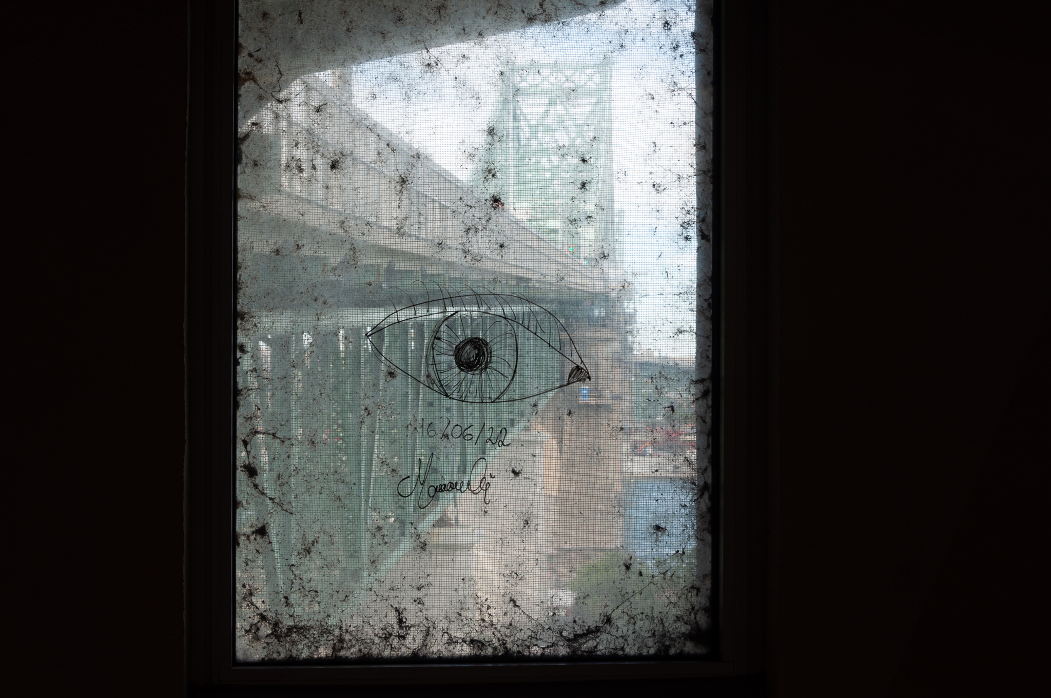
However, arriving at the midpoint above Île Sainte-Hélène, I found the sidewalk barricaded for repairs. Did this mean I’d have to go back across the terrifying truss section? No, it didn’t! There’s a passage under this section between the upstream and downstream sides of the bridge, complete with windows to view the span and graffiti to decorate the windows.
From here, I took the upstream exit road down onto the island, and walked on the mercifully solid paths on the ground.
Near the upstream point of the island, there’s a ferry dock. Walk-on ferry rides take you back and forth from here to the Vieux Port, just across this channel of the St. Lawrence. The ferry dock provides a grand view of the city.
Here’s a huge panorama stitched together from a lot of photos. If it seems to lean slightly, it can be blamed on me still holding onto a tree for support after the bridge-trauma. Or maybe it’s just an artifact of the photo-stitching software.
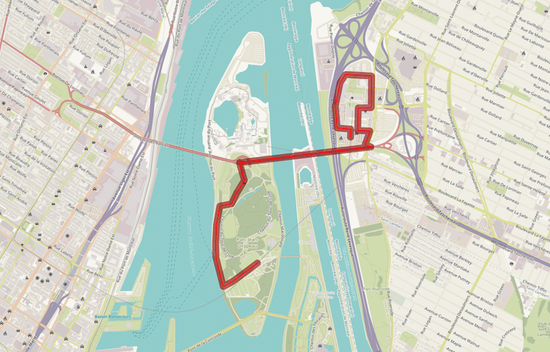
From here, I wandered into Jean-Drapeau park, and took the metro back. In the end, it was more of a bridge adventure than an exploration of Longueuil. For the next adventure in that area, I’ll consult a map first, and figure out my destination before I go.