
A point in the St. Lawrence River, that is, or, to be more specific, Parc de Dieppe…
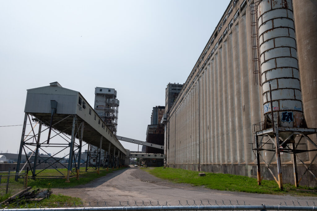
Across from the Vieux Port, there are several finger-like projections into the river. These peninsulas are just beyond the locks for the Lachine canal, and are largely quays for the original port. Rail lines terminated there, and it was (and is) the site of some of the largest grain silos.
The longest of the peninsulas was originally called the Mackay Pier, built in the last decade of the 19th century. When the area was chosen to be the site of the 1967 Expo, it was extended and renamed Cité-du-Havre.
I hadn’t explored very far into the area (where I’d been, I detailed two years ago in a posting about old industrial buildings) , so I hopped on a trusty Bixi bike and headed over.
I went out on the first quay, looping around Silo #5 before being told by a private security guard that the area was closed. I was still on the public side of the fence, but didn’t want to get into a fight, so I returned down Rue Mill, and onwards to Peel Basin.
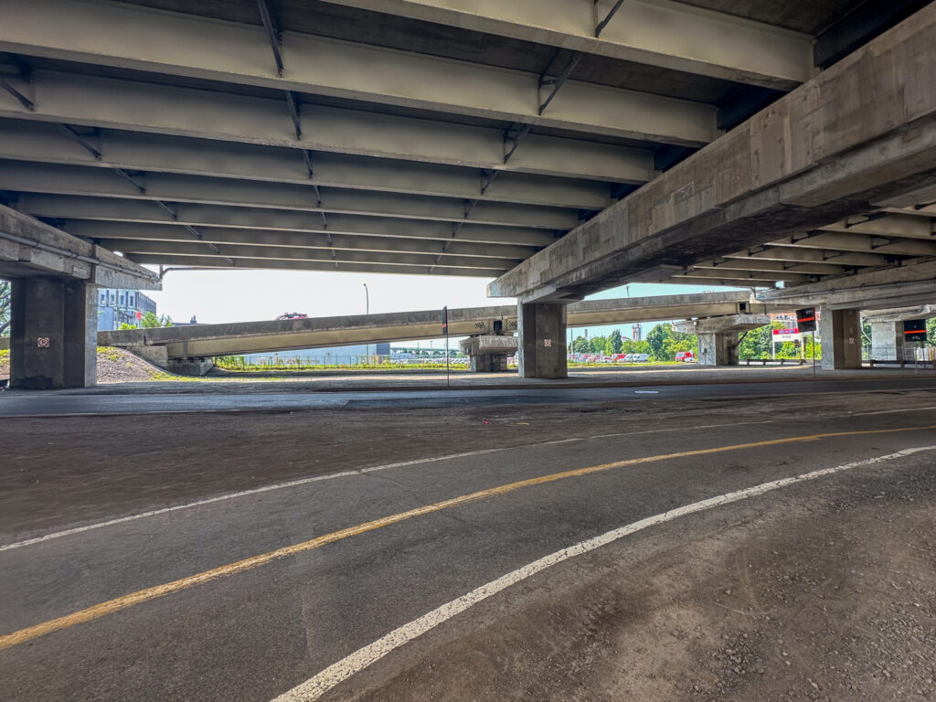
At the basin, the bike path splits. One direction continues up the Lachine Canal, the other heads under the freeway and rail tracks. It’s a little intimidating (not shown in the picture are the big trucks from the port), but an easy bike ride.
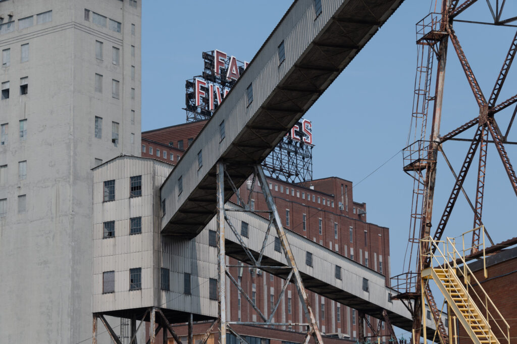
The path circles around Montreal’s famous Five Roses wheat plant.
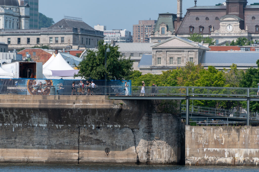
The bike path along Avenue Pierre-Dupuy is a popular one on a Saturday morning. Bicycling groups and joggers share the path. In one of the big parking lots outside a building emblazoned “Empire Stevedoring,” there were a dozen people taking a motorcycle training class and swerving around on a course marked with orange cones.
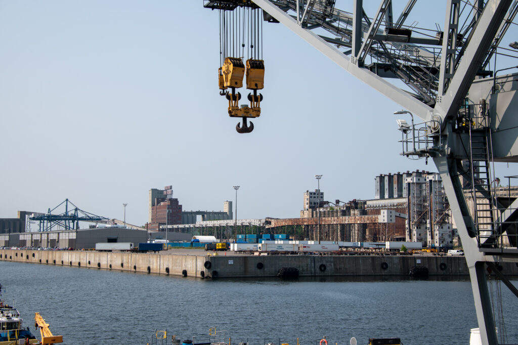
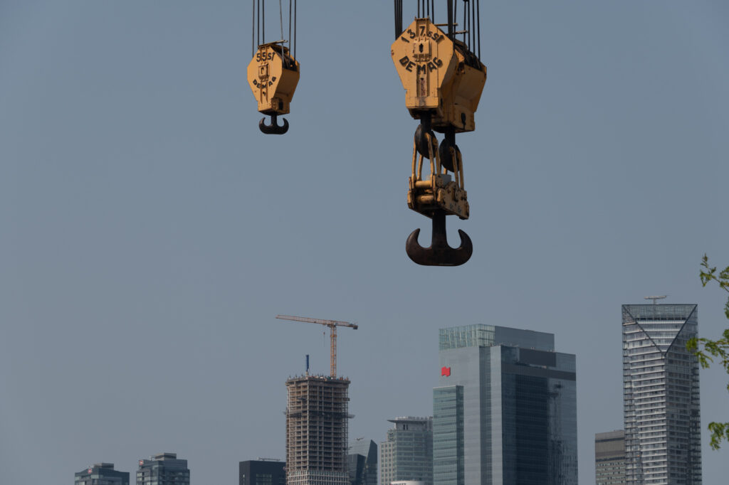
Just before the main road goes off on to the Pont Concorde bridge that goes to Île St. Hélène, there’s a small lookout towards the ship basin. There is docked the VM/S Hercules, a heavy-lifting crane barge. It provided some interesting details for a view of the quays and of the city.
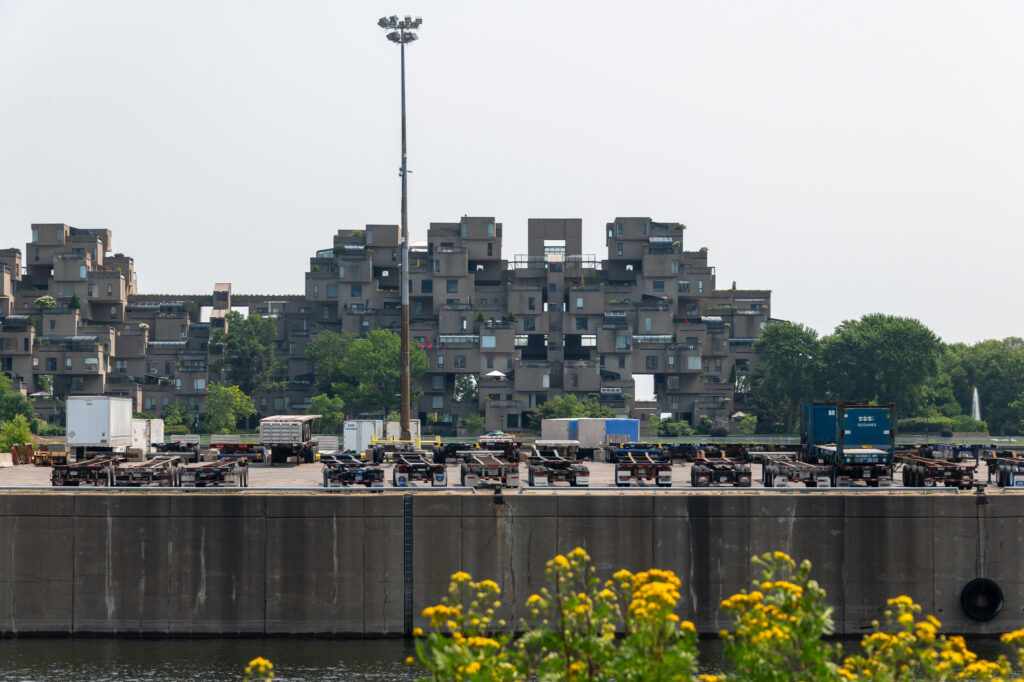
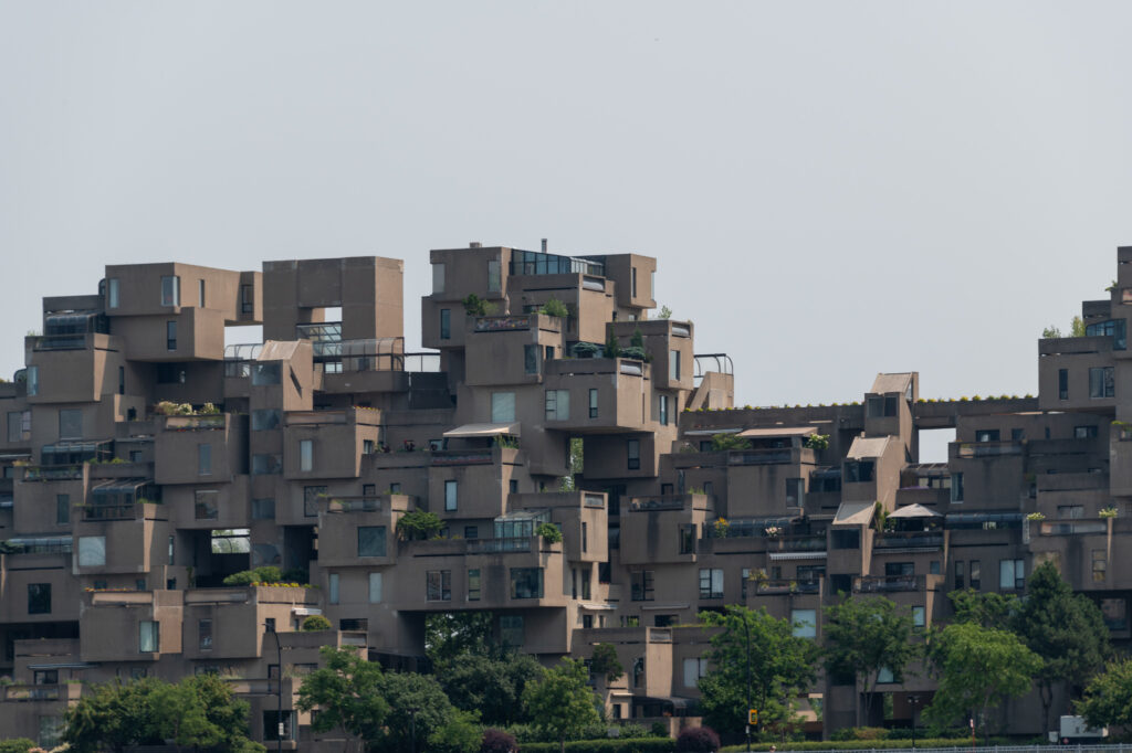
Looking in the opposite direction is the famous Habitat 67, the housing complex created by Moshe Safdie for the 1967 Expo Montreal. Now high-end housing, there are security guards patrolling the grounds and lawns around it to prevent any of us riffraff from entering (except, perhaps, on paid tours).
For the brave, you can cross a lawn (avoiding big, serious anti-trespassing signs) to cut over to access the main current of the St. Lawrence. The even braver will bring their surf boards. Why? Just beyond Habitat 67 is the Habitat 67 Break, a standing wave in the rapids, and popular surf spot. For all of the very stern warning signs, there were plenty of people sitting on the forbidden lawn, waxing their surf boards or repacking their gear. Having already dealt with security folks once already, I didn’t go to investigate.
A bike/walking path goes underneath the Pont Concorde bridge out to Parc de Dieppe, which is a nice hilly park extending out to a gazebo overlooking the river. Pine trees and maple trees shade picnic tables, and a paved area along the river seems popular among fishermen (although I can’t really imagine eating a fish that grew up in the outflow of the Lachine Canal and the shipping basins). While I was there, two dozen road-bikers in brightly colored spandex sat around the gazebo with their bikes while they enjoyed a cigarette break.
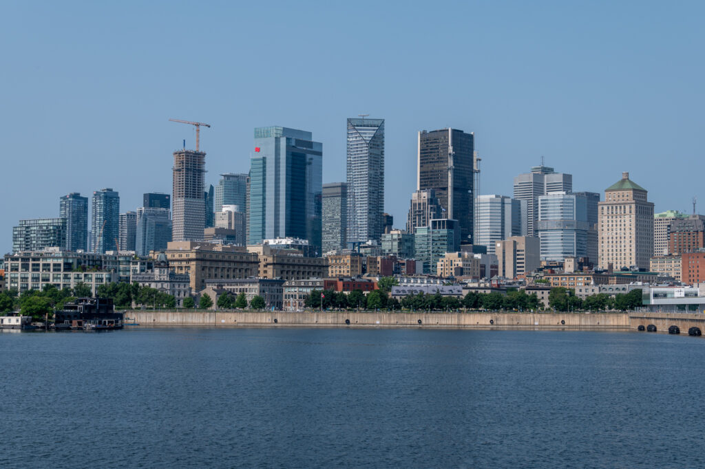
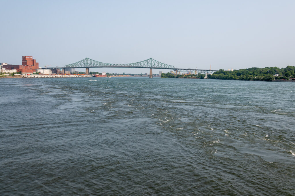
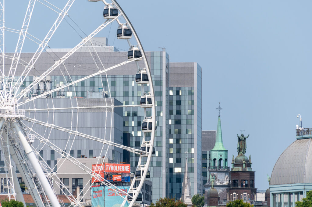
From the gazebo are nice views of both the old port, and downstream to the Jacques Cartier bridge and Île St. Hélène.
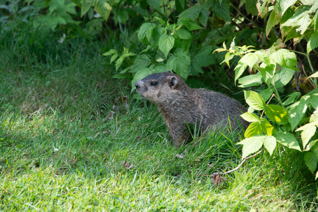
At this point, it was getting hot, so I retraced my steps back to the apartment. Before leaving the park, however, I had a brief conversation about the quality of the shrubbery with a local.
2 replies on “Up to a Point”
Hi Samuel
Interesting exploration. I never saw a ground hog before.
Thanks
RG
Relieved that you have a spot to shred those wave(s) Up North! 😀