Last weekend, we went for a jaunt to l’Estrie, the Eastern Townships of Quebec. This region stretches from the St. Lawrence lowlands down to the Vermont border, and includes some of the northernmost extents of the Appalachian uplands before they swerve off to Newfoundland.
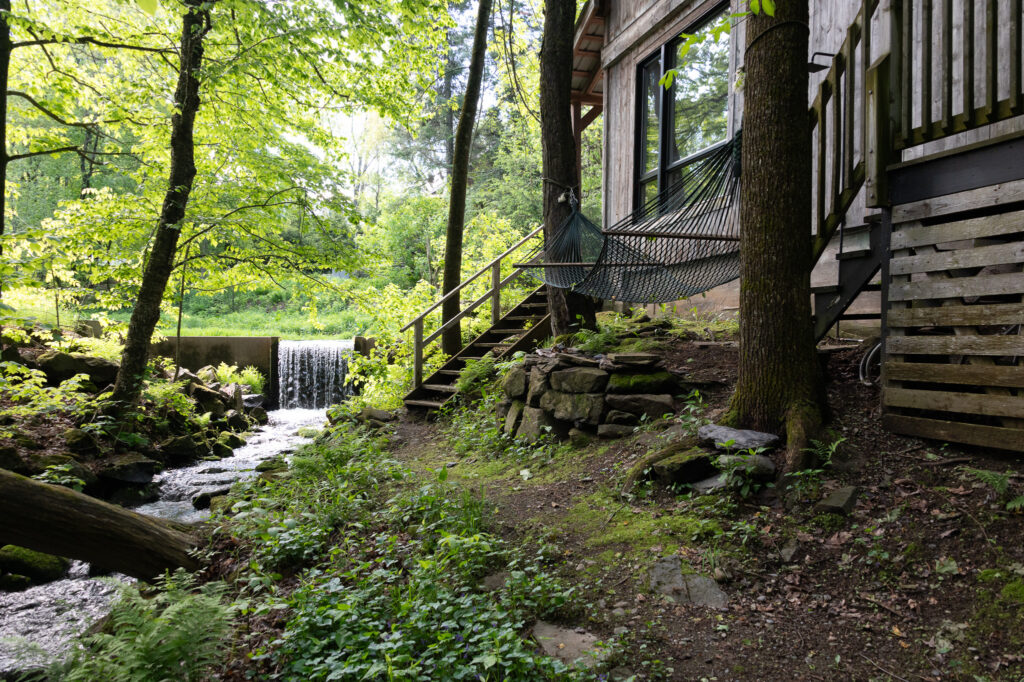
We stayed in a charming little cabin along a shady creek in a woodsy area not far from Bromont. We’d asked at the information kiosk in Bromont for a favorite hike, and the woman working there recommended the Panorama Trail in the Parc des Sommets de Bromont.
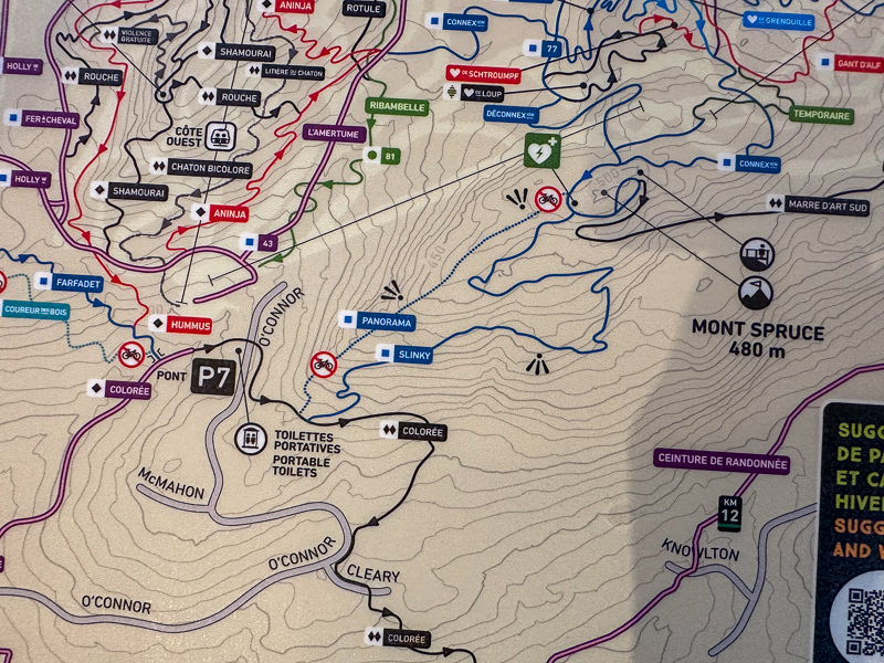
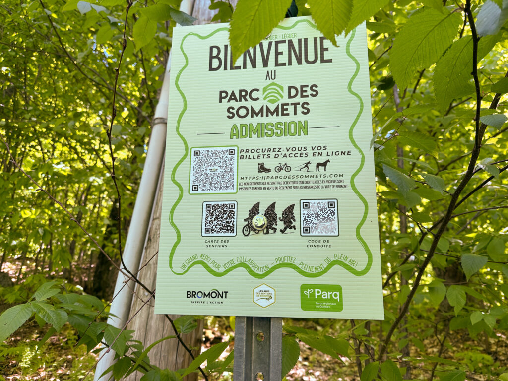
The Panorama trail starts at “Stationnement P7,” where young park employees collect a usage fee and give information. Most of the trails in the area are dual-use with mountain bikers and hikers, and the lot was parked up with vehicles with complicated bike-racks and people with fancy bikes.
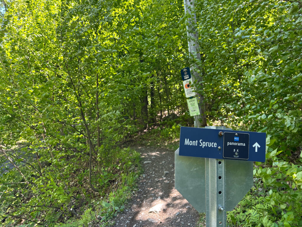
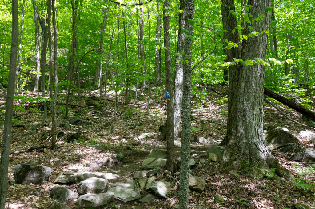
After hearing a warning from the park people that the first part of the Panorama trail was “very steep,” we set out. A short walk up the road got us to the well-marked trailhead.
The first part of the trail was shared with bikers. It climbs moderately, and cuts through a thick maple forest. Just as we got to the place where the hikers-only portion of the trail split off, we encountered a few bikers coming down. They were very polite and friendly.
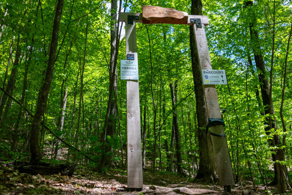
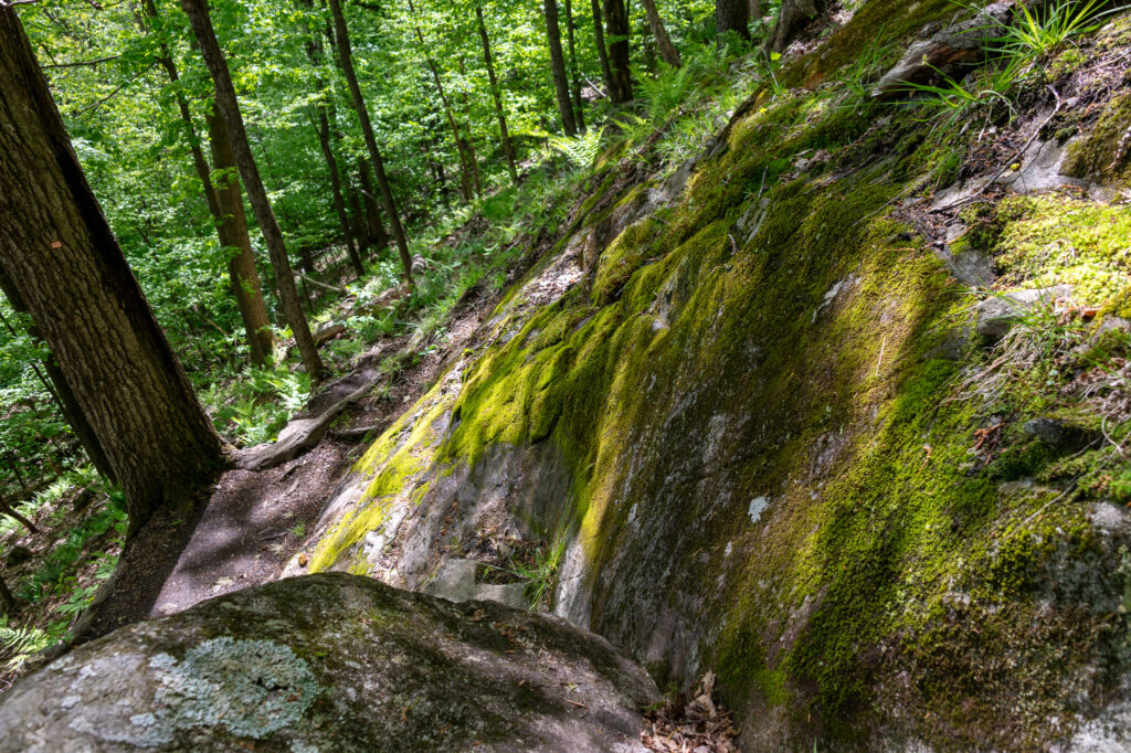
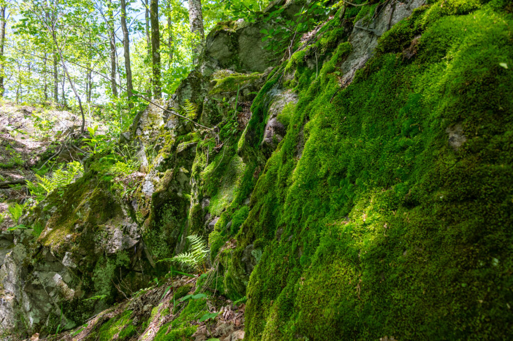
We passed through the impressive portal, noticing that it can be roped off, even though there’s nothing on either side of it. Presumably if it’s closed, people are sufficiently well-behaved to not walk around it. Anyway, it was open, so we passed through to where the trail starts climbing. We went up through thick forest, seeing lots of moss, and the very last traces of trillium and trout lilies.
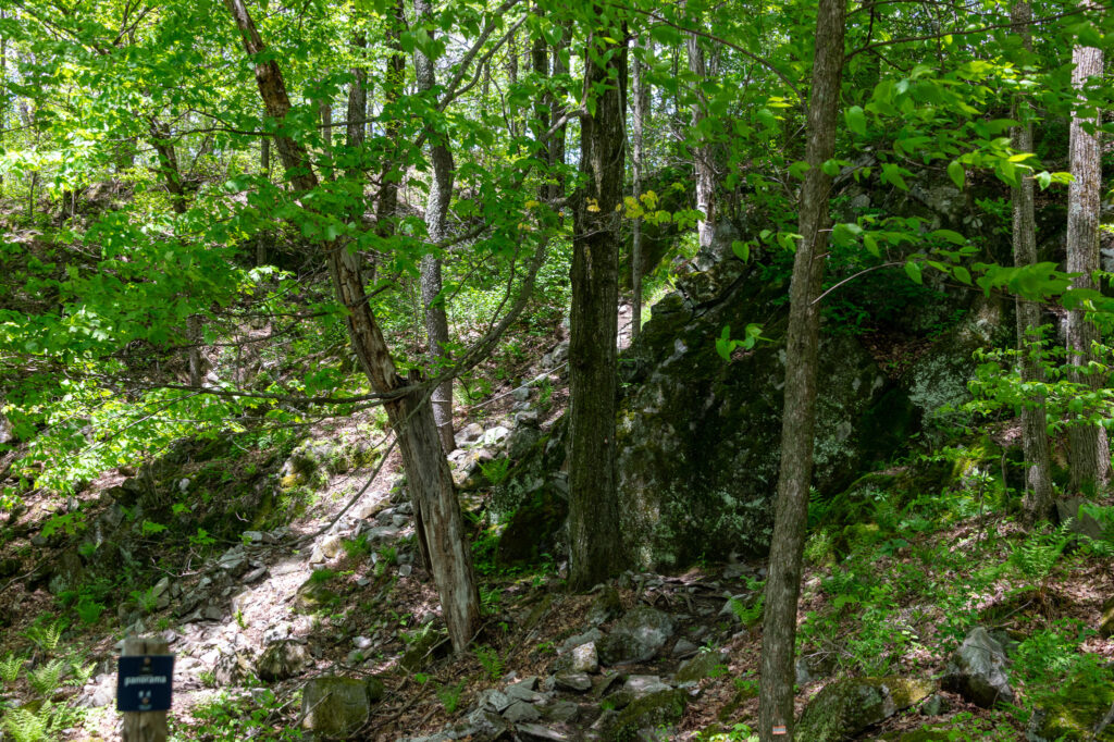
Then, the trail got steeper. It switchbacked up the side of the mountain, in places requiring a scramble over rocks. Even though it had rained hard the previous day, the drainage was good and the trail was not muddy or particularly slippery, which was reassuring.
The slope was not quite enough to trigger my acrophobia, but it was getting close.
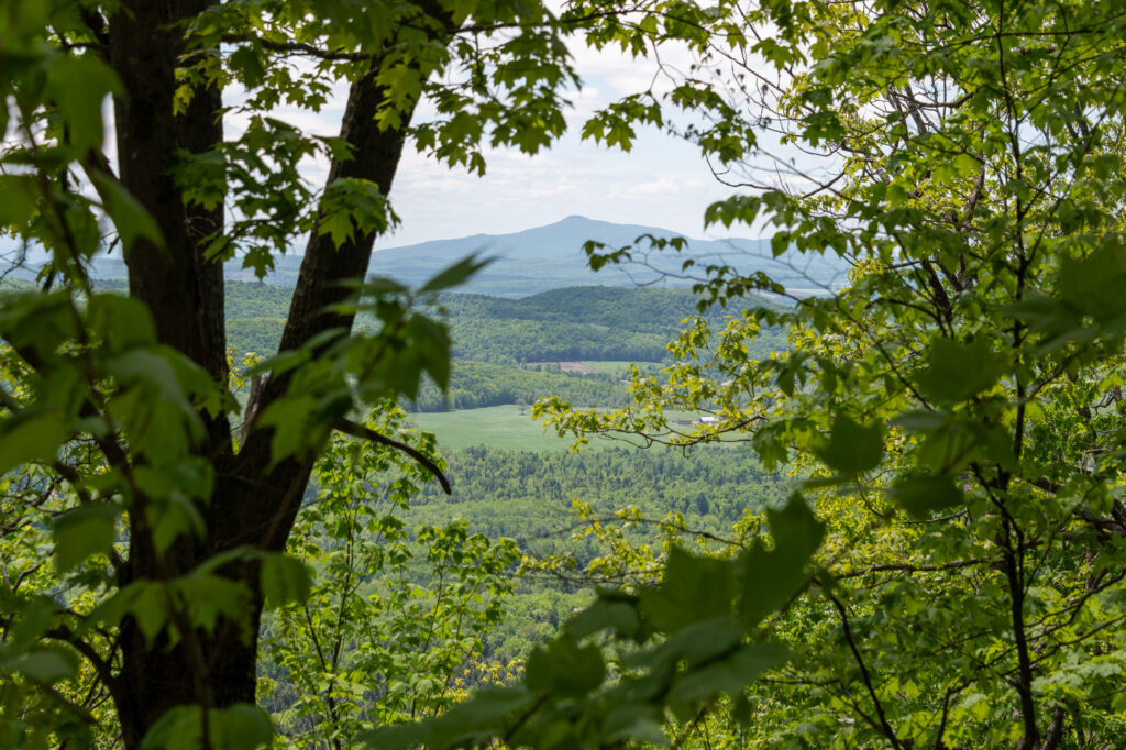
As we neared the ridge, occasional views peeked through the foliage. Not exactly what you’d call a panorama, but an … “orama?” (Actually, not too far off: ὅραμα or órāma, Greek for “view or sight”).
There were occasional places where the trail went up rocky faces. Most of these had strategically placed rope “handrails” to help, and even those that didn’t were often lined with helpful maple saplings.
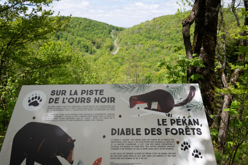
Eventually, we crossed over the ridge, and found an officially marked panorama and an informational sign. Frankly, it wasn’t very pan either, but it did provide a nice view of another spur of the hill.
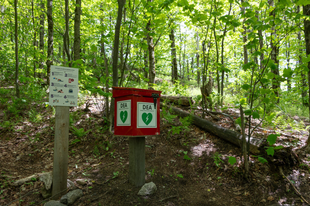
It was sunny but cold, and we were running low on energy as we continued across the top of the ridge. But from voices heard off in the forest, we could tell we were getting close to where the bike trail met up with the hiking trail again — which according to our map was near the peak. We persevered and got to the trail junction.
We weren’t sure whether to be reassured or spooked by the automatic defibrillator machine at the trail junction.
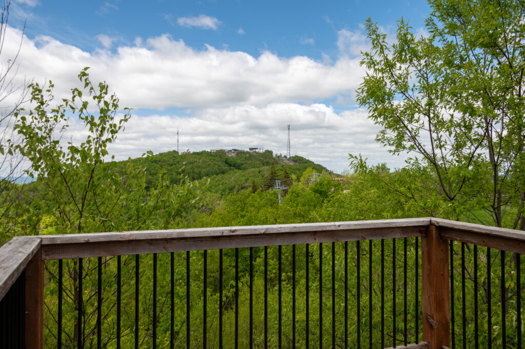
Finally we made it to the platform at the top of Mount Spruce. There were people at the one picnic table, and a few mountain bikers hanging out, so we went onto the platform and had a snack and a rest. The view to the north, with the ski lifts and top of Mont Brome makes it look like we’re just on a nice balcony of some cabin.
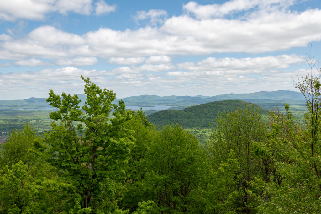
The view to the south-east, though, gives a better impression. That’s Lac Brom there, and those distant peaks are sitting right on the Vermont border.
As we looked at the view, a chill and enervating wind kicked up, and high clouds occluded the sun. We figured this was our cue, and we scurried back down to the trailhead.
As we departed, we were surprised to see a sign saying that the parking lot was only 1km away. The hike felt a lot longer than that, probably due to the rockiness and steepness. This guide rates the whole thing as a “black diamond” difficult trail, and notes that portions exceed a 30% grade.
Regardless, it was nice to get into the hot tub back at our creek-side cabin later in the afternoon.